Korean Aerial Survey Company Invests in IGI Lidar Technology
SaeHan Aero Survey has become the first customer in Korea to purchase the IGI UrbanMapper-2P. This nadir and oblique imaging system will be operated together with IGI’s LM-7802S, a high-performing airborne Lidar scanner. SaeHan Aero Survey is a leading aerial surveying company in Seoul, South Korea.
IGI’s UrbanMapper-2P (UM-2P) plus LiteMapper 7802S (LM-7802S) multi-sensor aerial mapping constellation combines aerial photogrammetric camera with high-performance Lidar, seamlessly integrated with IGI’s AEROcontrol GNSS/IMU and CCNS-5 for precise positioning, management and sensor operations.
SaeHan will use the new UM-2P to acquire photogrammetric-grade aerial imagery with high image quality and geometric accuracy. Together with the blur control management (BCM) technique based on an exceptionally fast shutter speed of up to 1/2000s, IGI’s precise lens focusing ensures razor-sharp imagery, even in challenging lighting conditions. Moreover, the wide swath (34,500 pixels) helps to increase the productivity of large-scale aerial photogrammetry surveys while also reducing flight lines and the overall mission time.
Digital Twins in Korea
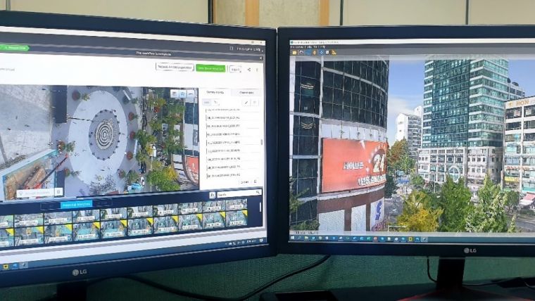
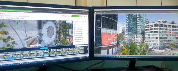
SaeHan aims to lead the domestic digital twin market by generating high-accuracy, high-resolution 3D models using the UM-2P’s exclusive two-in-one features as an oblique and vertical camera system. The company is striving to produce higher quality in line with the growing demands of digital twins by deploying aerial and mobile mapping equipment such as MMS Lidar, terrestrial Lidar and unmanned aerial vehicles (UAVs or ‘drones’).
The IGI LM-7802S is reputed to have one of the best pulse repetition rates in its class plus wide FOV. It is an efficient airborne Lidar suitable for use in Korea, which has both mountainous and dense urban regions.
Besides the production of high-quality 3D data, SaeHan is also set to benefit from the productivity improvement due to the UM-2P’s wide swath producing high-quality nadir and oblique photos. The LM-7802S can acquire high-density point clouds suitable for building high-resolution 3D terrain models. It also has the advantage of operating two sensors together, so it can acquire high-quality images and high-density point clouds simultaneously. With IGI’s multi-sensor aerial solution, SaeHan will benefit from a wide range of operational and technical advantages: from end-to-end software workflow, to increased flying efficiency and significantly increased survey productivity. This lays the foundation for the company to support the future of 3D spatial information in South Korea.

Value staying current with geomatics?
Stay on the map with our expertly curated newsletters.
We provide educational insights, industry updates, and inspiring stories to help you learn, grow, and reach your full potential in your field. Don't miss out - subscribe today and ensure you're always informed, educated, and inspired.
Choose your newsletter(s)


