Latest Lidar Technology to Provide 3D Models of New Zealand’s Hawke’s Bay Landscapes
This article was originally published in Geomatics World.
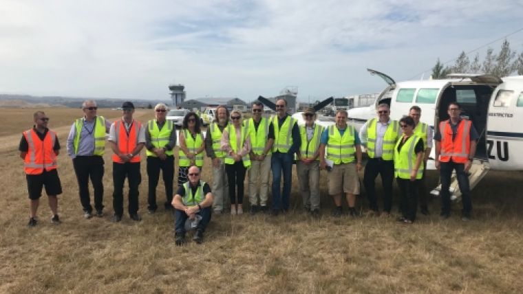
An interesting regional collaboration between all five councils of New Zealand’s Hawke’s Bay Region has taken off. Aerial surveying of the region has started and geographic data is being collected to create highly detailed 3D maps and models of the landscape, using the latest Lidar technology.
Hawke’s Bay Regional Council, on behalf of Central Hawke’s Bay District Council, Hastings District Council, Napier City Council and Wairoa District Council, secured funding from the Provincial Growth Fund (PGF) for the region. The Regional Council will be running the project which is part of a national Lidar programme.
3D models for economic development
Regional Council chairman Rex Graham says all five Councils have contributed resources to support the project and are also individually contributing funding.
“This collaboration will give us valuable information, using the latest technology to support the development of 3D models of landscapes. These models will contribute to economic development in the region,” Graham said. “The Lidar information will be used for land management decisions, roading design, precise understanding of sea-level rise impacts, stormwater design, and geohazard mapping, including ground surface change, faults, liquefaction and slips,” he continued.
Flying to gather the aerial survey data is expected to be finished in May. The data will then be processed, with final results in March 2021. The data captured in the Lidar survey is complementary to the Hawke’s Bay Regional Council’s 3D Aquifer Mapping Survey carried out recently, which surveyed 300 metres underground.
New Zealand's total Lidar coverage
The Lidar contract survey is being carried out by the Australian subsidiary of iXBlue. The company will partner with BECA, Aerologistics, Mainland Air and Woolpert to deliver the Lidar products and services.
PGF awarded eight Regional Councils, in partnership with their Territorial Authorities and others, NZ$14 million of co-funding to obtain Lidar elevation datasets in 2018. Land Information New Zealand (LINZ) is managing this initiative on behalf of the Provincial Development Unit.
The Lidar capture will provide data for over half of New Zealand's land area. Once the initiative is complete, New Zealand's total Lidar coverage should increase to approximately 80%, from 10% currently.

Value staying current with geomatics?
Stay on the map with our expertly curated newsletters.
We provide educational insights, industry updates, and inspiring stories to help you learn, grow, and reach your full potential in your field. Don't miss out - subscribe today and ensure you're always informed, educated, and inspired.
Choose your newsletter(s)


