Latin American Remote Sensing Week in Santiago
The Aerial Photogrammetric Service (SAF), along with the International Society for Photogrammetry and Remote Sensing (ISPRS) and FISA, is presenting the second edition of the Latin American Remote Sensing Week (LARS 2013) which will take place from 23 to 25 October 2013 at the Centro de Extensión UC in Santiago, Chile.
LARS will be a meeting point for distinguished lecturers and world-class international professionals, focusing on remote sensing, cartography, geographic information systems and Earth observation satellite sensors.
Remote sensing and geospatial data are playing an increasingly important role in the decision-making process, allowing the central government, local governments, NGO organisations, the business sector, the academic community and professionals to solve territorial problems that may afflict them.
This is why LARS presents as an opportunity for scientists, academics, organisations and companies to show their research and publicise the latest scientific and technological advances in the field of remote sensing as well and in a wide range of applications.
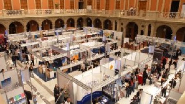
The organisation committee provides remote sensing professionals the opportunity to participate in science fairs, workshops and high-level technological demonstrations, and enjoy cultural and recreational activities in what promises to be a stimulating international meeting with important speakers and special guests.
For more information, visit the LARS 2013 website.

Value staying current with geomatics?
Stay on the map with our expertly curated newsletters.
We provide educational insights, industry updates, and inspiring stories to help you learn, grow, and reach your full potential in your field. Don't miss out - subscribe today and ensure you're always informed, educated, and inspired.
Choose your newsletter(s)


