Leica Geosystems Releases Leica MobileMatriX v3.0
In its newly released version 3.0, Leica MobileMatriX offers the ability to synchronise survey data with an enterprise geodatabase, transfer digital images taken from a mobile phone via Bluetooth and link it with a feature, in addition to many other improvements.
With the survey enhancement of distributed databases concept from ESRI, Leica MobileMatriX v3.0 provides the most flexible and powerful mobile GIS application currently offered in the Geospatial Market today. Leica MobileMatriX v3.0 is designed to benefit large and complex mobile GIS projects, down to small projects involving only a few field crews.
Leica MobileMatriX is continuing to evolve; particularly with respect to wider support of multiple sensors and the integration of survey data synchronisation. In its version 3.0, in addition to feature data, survey data is also replicated within the disconnected editing process for customers using ArcGISTM to manage their spatial data. This allows users to extend their geospatial applications to their colleagues in the field, creating unprecedented data management capabilities. By implementing Leica MobileMatriX 3.0 survey data synchronisation in the project workflow, a client can now connect to an enterprise database and modify or re-compute the survey measurements at will. This insures a smooth and seamless workflow between field and office, and the enterprise GIS is consistently updated with survey quality data.
It must be in the interest of each GIS Manager to know the source and the quality of the data within a system. In today's market, subcontractors are providing survey deliverables for enterprise enabled GIS clients and usually deliver CAD or coordinates with codes. With Leica MobileMatriX 3.0, the subcontractor can now provide a finished geodatabase to his client, without the conversion process that normally takes place after submittal. By allowing the contractor the ability to check data out from the enterprise system (complete with data model, proper attributes, subtype/domains, and topology) the contractor can then update the data in the field, checking back in the new features (including survey measurements) to the system. Current project analysis has shown a potential time/cost savings of up to and beyond 30-50%.
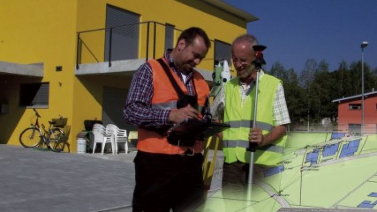
Caption: Leica MobileMatriX v3.0 is designed to benefit large and complex mobile GIS projects, down to small projects involving only a few field crews.

Value staying current with geomatics?
Stay on the map with our expertly curated newsletters.
We provide educational insights, industry updates, and inspiring stories to help you learn, grow, and reach your full potential in your field. Don't miss out - subscribe today and ensure you're always informed, educated, and inspired.
Choose your newsletter(s)


