
Leica Geosystems Unveils New Leica DMC-4 Airborne Imaging Sensor
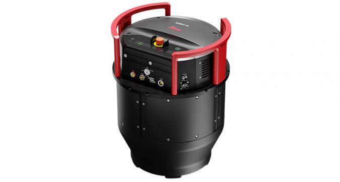
Leica Geosystems, part of Hexagon, has launched the Leica DMC-4, a highly efficient airborne imaging sensor providing unsurpassed image quality for various applications and complex mapping environments.
With the new system, Leica Geosystems aims to continue its tradition of combining industry-leading optics with precision mechanics to deliver the highest mapping performance. According to the geospatial solutions provider, the sensor provides superior image fidelity by leveraging the CMOS-based Leica MFC150 camera module with Leica Geosystems’ innovative mechanical forward-motion-compensation (FMC). The production-proven technology extensively used in Hexagon’s Content Program has already surveyed 1.2 million square kilometres and delivers crisp, full radiometry at faster aircraft speeds across various operating conditions.
Aerial Mapping Application Versatility
With over 31,500 pixels across swath, the DMC-4 maximizes acquisition efficiency and improves performance significantly to cover larger areas with fewer flight lines. Standard (S) and high (H) focal length configurations enable excellent airspace flexibility, providing a comprehensive solution for demanding applications and use cases. The DMC-4 was designed with application versatility in mind, supporting photogrammetry, remote sensing, terrain extraction and vector mapping.
The DMC-4 fully integrates with the Leica HxMap end-to-end processing workflow, a workspace supporting customers from mission planning and execution to product generation. Installed in the new Leica PAV200, a compact sensor mount, the system provides high-end sensor stabilization and data collection efficiency. Modular camera components enable remote maintenance and repair, and provide easier upgrade paths to future sensor generations.
Shaping the Future of Airborne Mapping
“After millions of square kilometres successfully surveyed by our customers with previous generation systems, the new Leica DMC-4 is the logical next step toward high-efficiency and high-fidelity mapping,” commented Layton Hobbs, products line director for airborne solutions at Leica Geosystems. “The DMC III, for example, was the first and most successful large format digital frame sensor to adopt CMOS technology alongside our proprietary mechanical FMC. The new version further evolves this technology, leveraging decades of mapping experience, to provide an even more efficient and versatile large format solution suited to our customers’ diverse application requirements. As such, we continue to shape the future of airborne mapping.”

Value staying current with geomatics?
Stay on the map with our expertly curated newsletters.
We provide educational insights, industry updates, and inspiring stories to help you learn, grow, and reach your full potential in your field. Don't miss out - subscribe today and ensure you're always informed, educated, and inspired.
Choose your newsletter(s)


