Leica Solution Streamlines Deformation Monitoring for Surveyors
Leica Geosystems has introduced its latest service module, Leica GeoMoS Now! Survey Edition. The module provides a service for surveyors and engineers for monitoring and managing 3D deformation of points of potentially unstable areas for surveying projects. The new streamlined workflow is developed to ease the critical and often time-consuming tasks of repeated field campaigns. Geomatics professionals receive immediate access to monitoring reports of man-made structures or natural dangers via their smart devices.
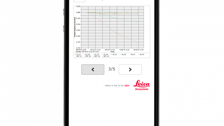
Surveyors can use this service to easily upload coordinates, process and visualise deformations for project managers to immediately access results from any smart device. This Cloud enabled solution offers users one convenient platform for all their existing and previous survey field campaign data. By using GeoMoS Now! Survey Edition, Leica Geosystems offers engineering companies a complete monitoring system for all their surveying projects without the complexity or expense of a traditional system.
TPS monitoring app
In combination with the new software, Leica Geosystems has also released the new TPS monitoring app for total stations and MultiStations using Leica Captivate and SmartWorx software. This new app further simplifies manual deformation monitoring by allowing total stations or MultiStations to automatically store previous job settings and remember them for future campaigns. By storing the job once on the app, all future control measurements are completed with a single click. This data can then be sent via the Cloud to designated specialists, who access this data from their smart devices in the form of easy-to-interpret graphs and reports.
Michael Rutschmann, senior product manager at Leica Geosystems explained that observing point stability on any object or structure is critical. The new Leica GeoMoS Now! Survey Edition lets geomatics professionals manage the deformation results and trends of all kinds of campaign monitoring projects in one easy step and allows to focus on other aspects of the surveying project. Also the measurement cycle of the TPS Monitoring App now creates high-quality coordinates incredibly fast and easy because of an integrated quality check, producing error-free results

Value staying current with geomatics?
Stay on the map with our expertly curated newsletters.
We provide educational insights, industry updates, and inspiring stories to help you learn, grow, and reach your full potential in your field. Don't miss out - subscribe today and ensure you're always informed, educated, and inspired.
Choose your newsletter(s)


