Lidar Data Helps Farmers Apply for Carbon Credits
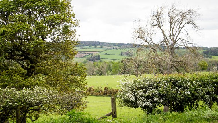
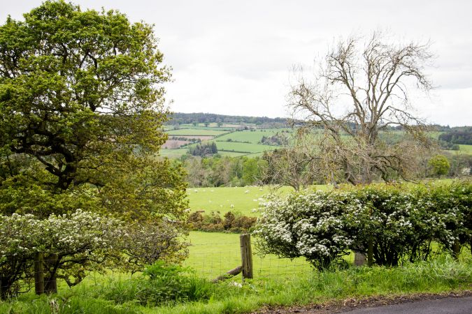
A new project in the UK is using Lidar data to identify areas of hedgerow as the basis for landowners to claim correct levels of carbon credits. The data in this governmenent-funded project is captured by aerial survey and mapping company Bluesky International.
Carbon Keepers is a UK fintech start-up that has received a SPRINT innvovation grant from the British government. The company has partnered with the University of Leicester and Lowther Estate Trust to develop an algorithm that uses Lidar data to identify how much carbon is actually being sequestered by hedgerows.
Lidar Data for Carbon Stocks Baseline
Eduard Hempel from Carbon Keepers, commented: “For farmers, carbon credits are becoming an important part of their income stream. They are being encouraged to plant trees, restore peatland and adapt soil management plans. This initiative aims to support them as it will provide the documented evidence farmers’ need to claim for carbon credits. We also plan to identify plant species that are growing within the hedgerows using Bluesky’s aerial photography."
“Having detailed and accurate Lidar data is crucial to the development of this algorithm because it provides an accurate baseline of carbon stocks. We can then measure again in the future and award credits based on carbon sequestered in hedgerows. Larger hedgerows mean more CO2 is locked away naturally and importantly they provide vital habitats for birds and wildlife as well as biodiversity corridors,” Hempel added.
Mapping Carbon Content with Geospatial Technology
Heiko Balzter, professor of physical geography & director of the Centre for Landscape and Climate Research at the University of Leicester, said: “I am excited to work with Carbon Keepers on carbon stocks and fluxes in English hedgerows. We know a lot about forests and woodlands, but hedges are a forgotten carbon asset in the UK. We will assess how accurately we can map their carbon content from a combination of field survey, computer models and remote sensing data.”
Ralph Coleman, sales director at Bluesky, stated: “Carbon reduction and carbon capture are, quite rightly, high on the agenda for many industries at the moment and we are seeing an increase in our data being applied to support the plans and development of schemes to address climate change. Understanding the current state-of-play is a big part of this as we can then move forward and develop properly informed plans. I expect GIS data will be at the heart of shaping many initiatives like this.”
The Carbon Keepers project has received £50,000 of funding via the SPRINT grant and aims to be up and running to support the agricultural landowners later this year. It is already trailing the initiative in Cumbria and aims to enable farmers and landowners across the country to sequester a significant proportion of the potential 500,000 tonnes of carbon credits that could be applied to Britain's hedgerows.

Value staying current with geomatics?
Stay on the map with our expertly curated newsletters.
We provide educational insights, industry updates, and inspiring stories to help you learn, grow, and reach your full potential in your field. Don't miss out - subscribe today and ensure you're always informed, educated, and inspired.
Choose your newsletter(s)


