Mexican Firm Shows Benefits of UAV Cadastral Surveying
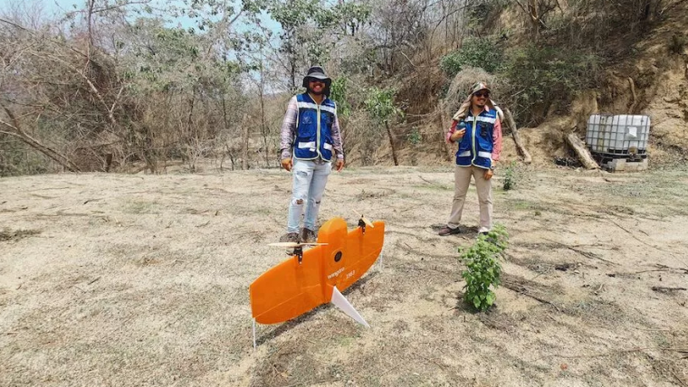
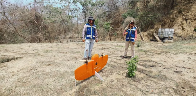
A local geospatial company called Omphika is using the WingtraOne UAV to improve land management in Mexico. Only about 300 of the nation's 2,500 counties currently have proper cadastral studies based on survey data, and some of these are old paper maps. This limits the management of land and populated areas across the country.
"WingtraOne has cut my job times in half. This is great because I can pass on the cost reduction to my clients when it becomes helpful in small rural places. This is important for the people and the betterment of infrastructure and government. Plus, this helps decide the right cost of property tax," explained José Luis Monter Sánchez, CEO of Omphika.
Mapping Complex Areas
The WingtraOne UAV can easily map complex areas with mountains and coastline, according to Monter. In just one day and four flights, his team captured 1,200ha of data with the RX1R II payload. These kinds of results are boosting business and winning the approval of governments, who see this as a breakthrough for the future of their jurisdictions. Additionally, the stability of WingtraOne when capturing data makes a huge difference when processing results.
“We’ve only flown WingtraOne for one month, but we flew it 21 times,” Monter said. “Now three cities, Manzanillo, Tecomán and Armería, from the state of Colima, have seen the results and said we can go ahead and capture another part of the land."

Value staying current with geomatics?
Stay on the map with our expertly curated newsletters.
We provide educational insights, industry updates, and inspiring stories to help you learn, grow, and reach your full potential in your field. Don't miss out - subscribe today and ensure you're always informed, educated, and inspired.
Choose your newsletter(s)


