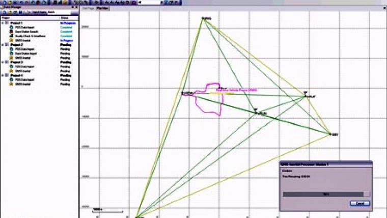
MMS Software for Land Based Mobile Mapping
Applanix introduced a new release of POSPac MMS (Mobile Mapping Suite), its Global Navigation Satellite System (GNSS)-Aided Inertial post-processing software for mobile mapping and surveying applications. The new release adds full features and functionality for land based mapping and surveying to the existing suite making it the only single software package on the market today fully equipped for processing mobile mapping data from the air, sea, and land platforms.
"The release of POSPac MMS with full support for land-based operations represents a major breakthrough for our land mapping customers. They can now enjoy reduced costs and greater accuracy, and significantly less complexity in the execution of their missions," said Louis Nastro, Director of Land Products at Applanix. "Additionally, customers who perform mapping operations from land, sea and air will greatly benefit from only having to purchase and learn a single integrated software environment."
POSPac MMS features patent pending Applanix software technology that significantly increases the efficiency, accuracy, and robustness of mapping and surveying using GNSS. It does so by using a combination of GPS network and inertial post-processing methods that work together to eliminate or reduce the restrictions currently associated with high accuracy GNSS positioning.
POSPac MMS software also includes a module for using GPS network corrections. Based upon Trimble® VRS technology, the Applanix SmartBase software can use the data logged from a network of public or private GPS reference stations to generate a set of GPS observables that correct for errors at the location of the remote receiver on the vehicle. These, along with the rover receiver observables, are then post-processed with data from the Inertial Measurement Unit (IMU) using the new Applanix IN-Fusion technology to simultaneously solve for the GPS ambiguities and the position and orientation of the vehicle. The Applanix SmartBase corrections ensure that the errors are significantly reduced anywhere within the network of receivers, meaning the correct GPS ambiguities can be quickly and reliably computed. The tight integration with the inertial data allows the software to recover from data outages in a very short timeframe.

Value staying current with geomatics?
Stay on the map with our expertly curated newsletters.
We provide educational insights, industry updates, and inspiring stories to help you learn, grow, and reach your full potential in your field. Don't miss out - subscribe today and ensure you're always informed, educated, and inspired.
Choose your newsletter(s)


