New OS OpenSpace SDK launched for iOS
Ordnance Survey, UK, is giving developers of mobile applications a helping hand with the launch of a free mapping software development kit (SDK). Adding detailed Ordnance Survey maps to mobile applications is made easier thanks to the new OS OpenSpace SDK for iOS. Building on the success of the recently released OS MapFinder app for iOS devices, and the popular OS OpenSpace API, Ordnance Survey is delighted to launch the OS OpenSpace SDK for iOS.
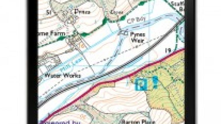
The free SDK automatically enables access to the range of high quality datasets available within both the OS OpenSpace and OS OpenSpace Pro API. According to Ordnance Survey, developers using the SDK are able to create exciting apps with the highest quality mapping data for Great Britain. Accessible products include overview mapping for Great Britain, street-level mapping featuring detailed building property boundaries and accurate road networks, vector based mid-scale mapping and the popular and trusted, outdoor mapping product, OS Landranger Maps (1: 50 000 scale), featuring national parks, tracks, paths and fields.
By accessing OS OpenSpace through the new SDK, developers can select which products are displayed within their applications. The SDK also enables developers to access a range of features, which can be used to further enhance the mapping within the applications. Some of the key features include:
-
Zoom and pan controls – native touch gesture recognisers provide tap and pinch zoom controls for the mapping
-
Annotations – developers can add features, markers and customised annotations to make truly interactive maps
-
Search – developers can create searchable maps by accessing gazetteer and addressing datasets through the SDK
-
Overlays – developers can easily create and style polylines and polygons
- User location – the new SDK provides a core location API to easily display the apps user location on the map
John Abbott, head of access and services at Ordnance Survey, said the free OS OpenSpace SDK for iOS will become an important tool in the developer’s tool kit. He is looking forward to seeing many new interactive apps featuring Ordnance Survey mapping. Mobile is on its way to becoming the most important platform and Ordnance Survey continues to see more and more individuals and businesses accessing mapping data from mobile devices. The new SDK allows greater access to mapping data and Abbott is confident that a new wave of mobile applications is being developed for a variety of market sectors, including estate agents, utility companies, emergency services and the outdoors.
The OS OpenSpace SDK for iOS will be released as open source software. The flexible SDK enables developers to access Ordnance Survey’s web services to create great apps using detailed mapping data. Developers can reuse the SDK code to create apps with other datasets, as well as have compatibility with other SDKs. With the new SDK it is straightforward to migrate from MapKit to the Ordnance Survey API with only a few changes to your application required.
Peter ter Haar, Ordnance Survey’s Director of Products and Innovation, stated the new SDK is another example of how Ordnance Survey is supporting developers and the wider government open data agenda. The OS OpenSpace SDK for iOS is a great addition to the open data and open source portfolio and will enable developers to easily innovate with Ordnance Survey's detailed and trusted datasets, resulting in many more apps being underpinned by geographic information.
To find out more information on the new OS OpenSpace SDK for iOS visit their website.

Value staying current with geomatics?
Stay on the map with our expertly curated newsletters.
We provide educational insights, industry updates, and inspiring stories to help you learn, grow, and reach your full potential in your field. Don't miss out - subscribe today and ensure you're always informed, educated, and inspired.
Choose your newsletter(s)


