New Showcase for UAS Exhibitors during Intergeo
Intergeo's integrated ‘interaerial SOLUTIONS’ platform is a response to the rapid development in data acquisition, analysis and applications for unmanned flight systems. The recently agreed partnership with the German-speaking Unmanned Aircraft Vehicle Association (UAV DACH) underlines the commitment of Intergeo, the world’s largest industry platform, to remaining the leading trade fair for UAS manufacturers and service providers in the German-speaking region and to further developing its international profile.
Intergeo was the largest UAS trade fair in the German-speaking region in 2014, with around 70 manufacturers of UAS and service providers offering UAS-based applications.
Clear Positioning
Intergeo is building on this with a heavily application-oriented concept. The ‘interaerial SOLUTIONS’ platform in Hall 8 of Messe Stuttgart is a response to the rapid development in this market sector, which is still in its infancy. The proportion of UAS manufacturers and service providers from this sector grew continuously from 1% in 2010 to over 10% of exhibitors in 2014. The ‘interaerial SOLUTIONS’ platform provides a clearly structured showcase for visitors and users, according to Olaf Freier, CEO of Intergeo organiser Hinte.
With the new stand design, an accompanying forum and the Flightzone as a designated outdoor flight area, Intergeo shows what the industry has to offer in terms of new developments and innovative applications for inspection and monitoring, surveying, cartography and GIS data capture. Thanks to best practice applications, product innovations and live demonstrations, ‘interaerial SOLUTIONS’ is set to become a hub for manufacturers and users in this new, innovative market sector.
Expert Partner UAV DACH
The capture, analysis and presentation of georeferenced data by unmanned aircraft is resulting in a growing number of new applications and markets. Unmanned flight systems have already become an established part of surveying, topographical mapping, documentation charting the progress of construction and many other areas. They are an indispensable part of the portfolio of processes for inspections of high-voltage power lines, dams and mines. They are also becoming increasingly important in market sectors such as precision farming, sustainable forestry and socially relevant fields such as disaster management and in hazardous situations.
To ensure a sustainable professional and targeted approach to the sector, a partnership has been forged with the German-speaking UAV Association UAV DACH. The association aims to integrate unmanned flight systems safely into the civilian airspace. UAV DACH aims to be the most important meeting point for UAS and its applications and to further develop its profile internationally, Freier stated.
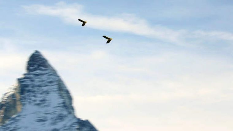
Image: Twin Sensefly eBees in operation.

Value staying current with geomatics?
Stay on the map with our expertly curated newsletters.
We provide educational insights, industry updates, and inspiring stories to help you learn, grow, and reach your full potential in your field. Don't miss out - subscribe today and ensure you're always informed, educated, and inspired.
Choose your newsletter(s)


