OpenStreetMap Integration Supported by SuperGIS Server 3.1
SuperGIS Server 3.1 Value Edition, developed by SuperGeo, Taiwan, supports the integration with OpenStreetMap. As a comprehensive and server-based GIS, SuperGIS Server 3.1 allows organisations to create, manage, integrate and publish a variety of spatial services.
The spatial data in all types as well as GIS functions therefore can be applied to desktop, mobile, and web applications over the Internet.
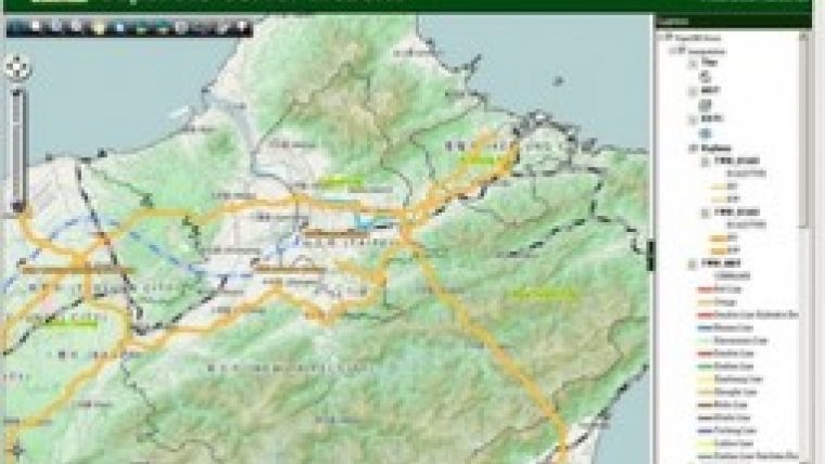
To provide developers with a flexible server structure, the newest SuperGIS Server 3.1 Value Edition optimises the ability to integrate with other platforms. In addition to the services delivered by Google Maps and ArcGIS Server, the services published by SuperGIS Server 3.1 can also be overlaid with OpenStreetMap services.
Administrators now are able to publish map services and overlay these services with OpenStreetMap after building the SuperGIS Server website. Consequently, the map website can be developed flexibly with richer contents to satisfy the users' needs.
Offering elastic server structure and strong ability in integration, SuperGIS Server 3.1 Value Edition assists developers in customising their map websites with ease and displaying map services that are overlaid with other open GIS resources on the website.

Value staying current with geomatics?
Stay on the map with our expertly curated newsletters.
We provide educational insights, industry updates, and inspiring stories to help you learn, grow, and reach your full potential in your field. Don't miss out - subscribe today and ensure you're always informed, educated, and inspired.
Choose your newsletter(s)


