Ordnance Survey Maps Undergo Major Innovation
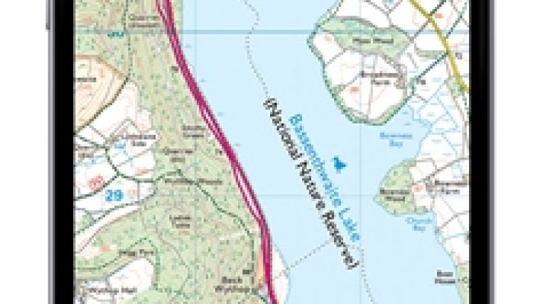
Over the next 12 months Ordnance Survey, Great Britain’s mapping agency, is to replace all 607 of its current paper map titles (OS Explorer, OS Landranger and OS Tour series) with a new design and an additional mobile download of the map that can be accessed for no extra cost. The project is due to get underway on 10 June when the OS Explorer Outdoor Leisure (OL) paper maps will begin hitting retailers’ shelves.
The Outdoor Leisure maps, which cover all of Britain’s national parks and areas of outstanding natural beauty, will come with an iOS and Android compatible download of the area covered by the map. The downloaded map will allow users to plot and store routes electronically. All the map data is stored locally and is available regardless of whether the smart device has a signal or not, making it perfect for even the remotest areas. Another standout feature is its ability to record a walk or cycle in real-time when out and about, so the route is instantly remembered for future exploration. This news follows last year’s announcement that sales of OS paper maps had increased for the first time in a decade.
Outdoors
Nick Giles, managing director of Ordnance Survey Leisure, said maps are the guide to the outdoors, the ideal tool for adventure and discovery. Feedback from customers showed that more and more people are using maps on their tablets and smartphones to navigate, despite some of these digital maps being less than ideal for finding paths and tracks in the countryside. OS maps give an unparalleled level of detail and are the definitive guide for any budding or seasoned explorer. For safety reasons Ordnance Survey always recommends anyone exploring the outdoors carries a paper map, so it made absolute sense to combine both paper and digital formats, to give people what they want with the security of having paper, and the added functions the agency’s digital map offers should open up greater possibilities for further adventure.
New covers
The much-loved paper maps will also have new covers. Photographs of Great Britain taken by members of the public in a competition run by OS, which received over 10,000 entries, will adorn the cover.
The OS Photofit competition has exceeded expectations, Giles continued. They received many more entries than anticipated and the overall standard was very impressive. There are a lot of talented amateur photographers out there. It proved very difficult for them to choose the winning images for their covers. The ultimately successful ones add to OS’s tradition of producing highly detailed accurate maps that also look like works of art, he added.
The OS Photofit is still open for OS Landranger series and closes on 31 October.

Value staying current with geomatics?
Stay on the map with our expertly curated newsletters.
We provide educational insights, industry updates, and inspiring stories to help you learn, grow, and reach your full potential in your field. Don't miss out - subscribe today and ensure you're always informed, educated, and inspired.
Choose your newsletter(s)


