Pelydryn Invests in Chiroptera II for High Quality Shallow Water Data Acquisition
This article was originally published in Geomatics World.
Pelydryn Ltd, a UK based company specialising in the acquisition of airborne bathymetric LiDAR worldwide, has announced the acquisition of the new CHIROPTERA II topo-bathy LiDAR system from Airborne Hydrography and Leica Geosystems which was introduced in early March this year. This new high-resolution system will help cut cost on acquiring high-quality data in shallow water for new and existing clients.
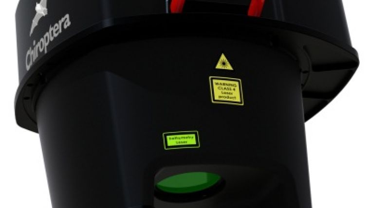
CHIROPTERA II is an innovative LiDAR system which simultaneously captures the full waveform in both the 35 kHz bathymetric channel and 500 kHz topographic channel. The system targets the growing need for high resolution accurate topographic and bathymetric surveys in the coastal zone and other shallow water regions, achieving depths of up to 15 metres. With a full topographic capability, this makes the CHIROPTERA II the ultimate tool for near shore and land surveying. The system integrates the latest Leica RCD30 80MP camera allowing high resolution surface imagery to be captured simultaneously during airborne surveys.
Pelydryn Managing Director, Roger Downing, said, “We are pleased to be among the first to operate the new CHIROPTERA II system. It will be a great addition to our current systems and will allow us to offer new and enhanced capabilities to existing and prospective clients. Pelydryn have a long-standing relationship with Airborne Hydrography and their latest product offerings are at the forefront of current technology.”
Airborne Hydrography Managing Director, Anders Ekelund, said, “We are pleased that Pelydryn has selected the CHIROPTERA II sensor that will further enhance their current HawkEye II bathymetric LIDAR capability with improved data quality in the shallow water segment. Pelydryn is one of the most experienced companies in the world within the field of bathymetric LIDAR, and it is an honour to serve them with our latest technology.”

Value staying current with geomatics?
Stay on the map with our expertly curated newsletters.
We provide educational insights, industry updates, and inspiring stories to help you learn, grow, and reach your full potential in your field. Don't miss out - subscribe today and ensure you're always informed, educated, and inspired.
Choose your newsletter(s)


