Point clouds come alive in new book by Mathias Lemmens
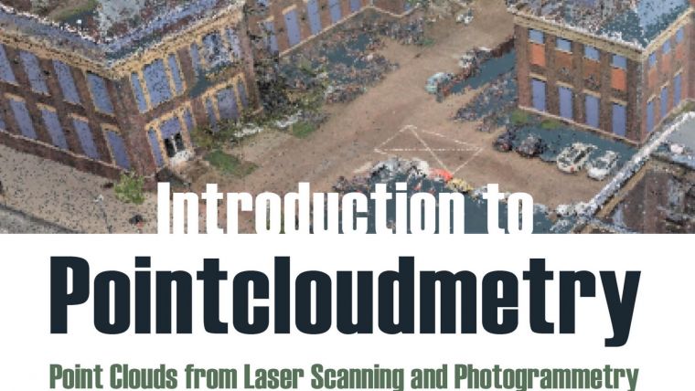
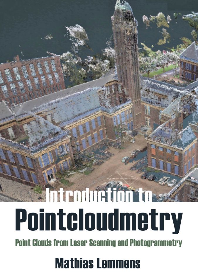
‘Introduction to Pointcloudmetry’ is the title of the new book by Mathias Lemmens, former editor-in-chief of GIM International. Despite the in-depth text, it is a clearly and accessibly presented book treating the major concepts of point clouds generated by laser scanning as well as overlapping photogrammetric images. In the publication, Lemmens discusses various aspects that come into play when working with point clouds derived from laser scanning and photogrammetry.
Introduction to Pointcloudmetry will be essential reading for everyone working in the sphere of geomatics, geography, GIS and the application of geospatial science. The diverse applications of point clouds reflect the relevance to engineers and scientists in a multitude of disciplines, such as civil engineering, planning, architecture, oceanography, forestry, geography, surveying, software engineering and many more. Moreover, the information provided in the book is also very useful for the growing number of people who have no background in geoinformation technology but nevertheless have to deal with this topic in their daily work.
Point cloud processing steps
“It is my sincere hope that my book helps to spread the essential knowledge about the core idiosyncrasies and unparalleled potential of point cloud technology – a technology for which I have coined the term ‘pointcloudmetry’,” states Lemmens. “This book is also intended to make ordinary and occasional point cloud users aware of the manipulations and conversions that a point cloud may have undergone from raw acquisition to the datasets visualized on the computer screen. For example, when the user buys or downloads a DEM for free under open data, the key question to ask is: Which processing steps did the dataset go through before it landed on my hard drive or on the cloud server?”
Lemmens continues: “Is the original point cloud as provided by the contractor who conducted the survey, or has the dataset undergone processing steps such as ground filtering to contain only the bare ground surface? Has the point cloud been manually edited to remove erroneous ground points, or have automated filtering techniques been used? It is important to be aware that point clouds have undergone a series of processing steps before reaching the analyst’s computer screen. This book is an indispensable aid to arrive at the required levels of knowledge,” he concludes.
Legacy and onspiration
Mathias Lemmens was an editor of GIM International until December 2020 and has written over 500 articles in the fields of photogrammetry, remote sensing, computer vision and Lidar. His popular textbook Geoinformation – Technologies, Applications and The Environment offers a unique and in-depth overview of geomatics. In 2019, he followed this up with the textbook Points on the Landscape – Twenty Years of Geomatics Developments in a Globalizing Society.
In fact, in his farewell interview when stepping down from GIM International after 23 years, Lemmens hinted that he was working on the book, stating: “I regard it as my legacy and hope it inspires students and practitioners.”
Contents
The book Introduction to Pointcloudmetry is subdivided into four parts. Part I, titled ‘Embrace Light’ and consisting of three chapters, focuses on preliminaries and fundamentals. It introduces the characterization of point clouds, the basics of georeferencing, and discusses the jeopardy of injudicious application of sophisticated technology. The elementary source of the generation of point clouds is light. Therefore, it is important to have basic insight into the characteristics of electromagnetic energy, which is the subject of Chapter 2, before Chapter 3 further zooms in on a man-made type of electromagnetic energy: laser light.
Part II, titled ‘Acquisition of Point Clouds’, focuses on the sensors and technologies to acquire point clouds from overlapping images as well as from laser scanners. Chapter 4 considers the derivation of point clouds from overlapping images. The depiction of the basics of laser scanning is distributed over two chapters. Chapter 5 considers the technologies of laser scanners mounted on aircraft, called airborne Lidar, while Chapter 6 focuses on laser scanners mounted on ground-based platforms such as cars. Extracting meaningful information from camera data and laser data starts with a good survey. Under the heading ‘Survey Peculiarities’, Chapter 7 discusses issues related to bringing sensors to work.
Part III, called ‘2.5D Mapping from Point Clouds’, focuses on the generation of DEMs in three chapters. Chapter 8 aims to provide a basic insight into how terrain surfaces are represented in numbers so that calculations can be carried out using a GIS or other software. Chapter 9 addresses the topic of computing height values of unmeasured points on the terrain surface from measured points, a process called interpolation. Chapter 10 considers the binary classification problem of separating bare ground points from buildings, vegetation and other ground points. This classification problem is usually indicated by the term ‘ground filtering’.
The last part of the book, Part IV, focuses on ‘3D Mapping from Point Clouds’. Feature extraction is a basic step in the 3D mapping process and this topic is addressed in Chapter 11. The theoretical concepts of pointcloudmetry can only be deployed in practice by virtue of the existence of dedicated point cloud processing software. Chapter 12 briefly explores the characteristics and properties of software developed for processing geo-related point clouds. In the final chapter of his book, Chapter 13, Lemmens presents a wide variety of applications of point clouds under the heading ‘Pilot Studies and Applications’.
The book is published by Whittles Publishing and can be ordered here.

Value staying current with geomatics?
Stay on the map with our expertly curated newsletters.
We provide educational insights, industry updates, and inspiring stories to help you learn, grow, and reach your full potential in your field. Don't miss out - subscribe today and ensure you're always informed, educated, and inspired.
Choose your newsletter(s)


