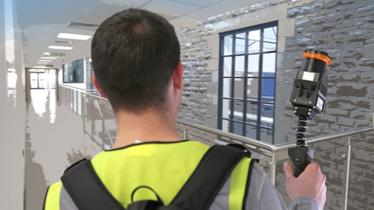
Pointfuse Launches Laser Scanning Software Suite
Pointfuse is releasing Pointfuse 2018, a suite of laser scanning software which includes a cloud-based data processing service called Pointfuse Bolt. Designed to promote and support the capture of digitised ‘as-built’ data, Pointfuse 2018 will help BIM practitioners create intelligent data that is easy to consume and easy to share.
Pointfuse Bolt is powered by unlimited parallelised computing on an industry-standard secure platform to process point clouds captured during the design, build and delivery of complex construction projects. Offering a scalable yet affordable solution, the Bolt service reduces processing times and minimises the IT requirement for expensive hardware whilst maximising productivity across a range of BIM workflows.
Scan as often as possible
“Pointfuse 2018 will challenge the current paradigm of only scanning during design and at completion to become a more integrated and vital part of the construction workflow,” said Mark Senior, regional sales director at Pointfuse. “With Pointfuse Bolt and the other new features in this release, users can scan as often as possible and use intelligent models across a range of applications achieving benefits in cost, time and safety.”
Pointfuse 2018 also includes the Autodesk Recap SDK avoiding the need to convert native Recap registered point cloud outputs into other industry standard formats. This is the first of many similar initiatives planned with Autodesk over the forthcoming months and strengthens the BIM360 integration. Support for Z+F laser scanning and measurement systems and Topcon surveying equipment are also included in Pointfuse 2018.
“Pointfuse 2018 offers a road map to an integrated Scan2BIM and Scan2Model toolkit that will empower users, from owners through to sub-contractors, to adopt many of the workflows and technology solutions that are utilised within manufacturing environments,” added Senior.

Value staying current with geomatics?
Stay on the map with our expertly curated newsletters.
We provide educational insights, industry updates, and inspiring stories to help you learn, grow, and reach your full potential in your field. Don't miss out - subscribe today and ensure you're always informed, educated, and inspired.
Choose your newsletter(s)


