Propeller Aero and DJI Join Forces to Improve Worksite Surveying
Propeller Aero and DJI have expanded their partnership to include compatibility of Propeller’s site surveying and 3D mapping software with DJI’s Matrice 300 RTK drone (M300) and Zenmuse P1 sensor (P1).
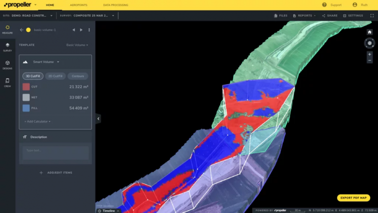
Propeller’s data processing platform is designed for site surveying and 3D mapping for the construction and earthworks industries. When combined with DJI’s advanced M300 drone, which features a refined propulsion system and longer flight time, the solution is able to rapidly and precisely map hundreds of hectares accurately within 3cm, making it very suitable for surveying medium to large-scale worksites such as highways, industrial complexes, and mines. The Zenmuse P1 is DJI’s newest flagship sensor, designed specifically for photogrammetry missions. Integrating a full-frame sensor on a 3-axis, stabilized gimbal, it has the ability to substantially increase efficiency and accuracy for surveying and mapping applications.
Uncrewed survey data to increase safety
Drone survey data and 3D site maps provide teams across the worksite a single source of truth to better plan, track, inspect and work more safely and efficiently. Additionally, by facilitating quicker data collection, expanding coverage, and offering more real-time progress data, site managers can reduce labour costs and optimize available machinery.
“Worksites have never been as safe, efficient, and data-empowered as they are today, thanks to the advances in technology use on-site,” said Jack Nachazel, customer success engineer at Propeller Aero. “Our customers are building everything from airports to highways, using a drone that can best capture the unique characteristics of their site. Through our expanded partnership with DJI, they will now be able to streamline their data collection and processing with the powerful M300 drone, which many of our customers are already using.”
To use the solution, surveyors place Propeller AeroPoints (smart ground control points) around the worksite, fly the M300 drone above to collect survey data and upload that data to Propeller’s cloud-based platform where it is completely processed within 24 hours.
The full solution will be available through Propeller’s channel partnership with Trimble, and through its SITECH distribution network as Trimble Stratus powered by Propeller, a 3D cloud-based visualization platform developed by Propeller which integrates with Trimble Connected Site solutions.

Value staying current with geomatics?
Stay on the map with our expertly curated newsletters.
We provide educational insights, industry updates, and inspiring stories to help you learn, grow, and reach your full potential in your field. Don't miss out - subscribe today and ensure you're always informed, educated, and inspired.
Choose your newsletter(s)


