Propeller Aero and Quantum-Systems Partner up to Provide PPK Support for UAV
Propeller Aero and Quantum-Systems are working together to ensure compatibility of Propeller’s site surveying and 3D mapping software with Quantum-Systems’ Trinity F90+ UAV. Propeller Aero is a drone data visualization and analytics platform, and Quantum-Systems is a developer of unmanned aircraft systems.
Propeller’s post-processed kinematic (PPK) solution enables seamless surveying and 3D mapping of worksites across the construction, mining and earthworks industries. Coupled with Quantum-Systems’ Trinity F90+ drone, a dedicated large-scale mapping drone, contractors will be able to improve survey accuracy, condense their traditionally weeks-long data collection process into a few hours, and quickly share digital models among their broader worksite teams.
Making eVTOL Aircraft Accessible for a Broader Audience
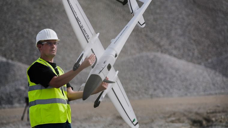
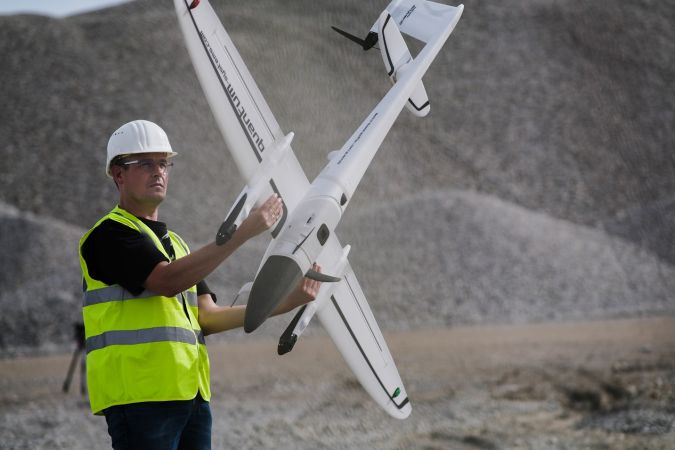
Designed and manufactured in Germany, the Trinity F90+ UAV builds on Quantum-Systems’ previous F9 model and aims to make electric vertical take-off and landing (eVTOL) aircraft accessible to customers at an affordable price point without compromising technical quality or usability. Additionally, the Trinity F90+ drone can fly for up to 90 minutes – well beyond the industry standard of 60 minutes – allowing earthworks professionals to survey larger worksites more efficiently, and it comes with the broadest choice of integrated sensors in the industry.
“Today’s contractors and surveyors are eager to adopt new technologies that modernize workflows and allow them to analyse more aspects of their worksite than ever before,” said Richie Hadfield, head of product at Propeller Aero. “The clients we work with are doing cutting-edge work in the construction, earthworks, and mining space and are already using drone technology to accelerate project timelines, reduce costly rework, and create safer environments for their employees. Our new partnership with Quantum-Systems gives our customers in Europe and around the world even more ways to achieve this increased efficiency and accuracy with the highly advanced F90+ drone.”
To use the combined solution, surveyors place Propeller AeroPoints (smart ground control points) around the worksite, fly the Trinity F90+ drone above to collect survey data and upload that data to Propeller’s cloud-based platform where it is processed and available to use within 24 hours.
“The drone industry has progressed a lot over the last couple of years, along with customer expectations,” notes Florian Seibel, co-founder and CEO of Quantum-Systems. “It is no longer reasonable to have customers figure out a complete solution for their needs. As a technology company, we listen to our customers and understand their needs and how best to address them. With the full Trimble Stratus solution completed with Trinity F90+, customers can proactively finish their projects from end to end.”
Clients will now have the ability to purchase the complete solution of Trimble Stratus and Quantum-Systems Trinity F90+ through Propeller’s channel partnership with Trimble, and through participating SITECH distributors.

Value staying current with geomatics?
Stay on the map with our expertly curated newsletters.
We provide educational insights, industry updates, and inspiring stories to help you learn, grow, and reach your full potential in your field. Don't miss out - subscribe today and ensure you're always informed, educated, and inspired.
Choose your newsletter(s)


