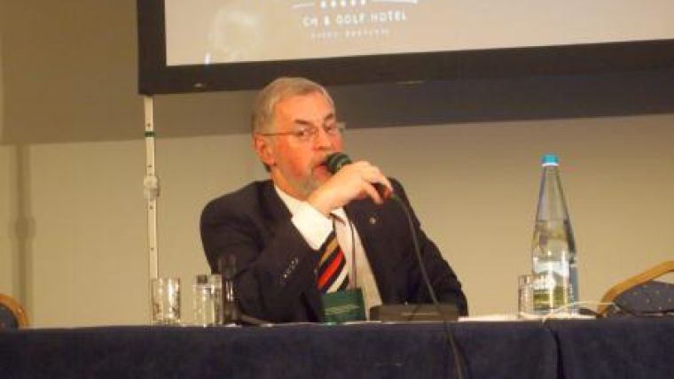
Racurs Conference 'From Imagery to Map: Digital Photogrammetric Technologies'
The recent Racurs conference held in Portimao, Portugal, was opened by keynote speaker Mr Henriques, Regional Director in Faro Delegation of the General Directorate of the Territory (former Instituto Geograpfico Portugues). As a result of the economic crisis in Portugal, the former 'Instituto Geografico Portugues' and former 'Direccao Geral de Ordenamento do Território' is going through a reform process. Both organisation are currently merging into a single organisation. Since cost reduction is a high priority, the cadastre is also reassessing its strict tender specifications in an attempt to reduce bureaucracy within the geomatics industry. The aim is to achieve better interaction between the governmental bodies and the commercial sector, and thus more efficient operations.
What makes the Racurs conference particularly interesting is its involvement of the geomatics industries from both East and West, with organisations, governments, research institutes and companies from both Western economies and Russia on hand to present their latest technologies developments and research. Among others, it includes representatives from the Leibniz University, MIIGAIK, Geoeye, DigitalGlobe, Astrium Geo, SigmaGeo and University of Lisbon.
For several years now, Professor Grün and Professor Konecny have been regular speakers at the Racurs conference. Professor Konecny indicated that the technology is able to evolve due to the fact that Racurs is still in private hands. But in order to use the kind of technology Racurs is developing, the domain experts require data. ISPRS launched a global survey to explore the current status of available data, examining whether an update programme is in place, the extent of the coverage and the age of the data. Unfortunately, only 69 out of the 200 countries have so far returned the questionnaire. Overall, Europe seems to be demonstrating good results on all levels, whereas Latin America and Africa are currently still in a development phase.
3D city modelling is an emerging technology and provides technical tools for those involved in urban planning and the creators of smarter cities. In response to this demand, Racurs also implemented a new 3D city modelling functionality in its Photomod software. This functionality allows urban planners to design more sustainable cities and create more social, economic and greener environments for citizens.
Although there are still legal and safety aspects to overcome for AUVs, UAVs seem to still have great potential for the future within geomatics. The possibilities are extensive, ranging from pollution monitoring and oil spill monitoring to façade or building modelling. Racurs also acknowledged this, and optimised its software to meet the demands of UAV market. On the other hand, it still remains very important to select the right camera for a UAV, as Professor Alexander P. Mikhaylov demonstrated.
The complete conference was broadcasted via internet for those who could not make it to Portugal. Guest speakers from Michigan Technological University, USA, held a webinar presentation about their research on hands-free control of digital photogrammetric 3D measurements. Attracting 120 participants, the conference was once more well attended and, with an extensive conference, technical and social programme, Racurs once again highlighted geomatics capabilities in Russia.

Value staying current with geomatics?
Stay on the map with our expertly curated newsletters.
We provide educational insights, industry updates, and inspiring stories to help you learn, grow, and reach your full potential in your field. Don't miss out - subscribe today and ensure you're always informed, educated, and inspired.
Choose your newsletter(s)


