Rapid 3D Reality Capture Solution with Integrated Photorealism
Kaarta has made another leap forward in the advance of rapid 3D reality capture with the launch of Kaarta Reality Layer. This augments its already geometrically accurate and robust spatial capture with the richness of colour information, running the gamut from point cloud to surface mesh and from RGB point cloud to rich photorealistic model. These integrated colourisation capabilities make it possible to quickly capture and process just the level of colour detail needed for a wide range of built-environment applications, from planning and design to construction, ongoing operations and maintenance.
In addition, the ability to automatically generate photorealistic 3D models promises to make a host of new mixed-reality applications possible.
At its most immersive and photorealistic level of detail, Reality Layer automatically connects the dots on a dimensionally-accurate, high-fidelity point cloud to create faithful surface models for the seamless overlay of high resolution colour imagery – all rapidly captured and processed with one mobile handheld device. Reality Layer reveals features such as surface textures and colours, locations of electrical, plumbing, HVAC and other features, or even details as fine as the text on signage or labelling.
How It Works
Substantially more sophisticated than simply assigning colour values to the XYZ coordinates of a point cloud to help visualise the real-world environment, Reality Layer can create a registered visual model using actual images, not points. This capability makes it far easier to understand the space using the most common visualisation tool: the human eye. The process is simple:
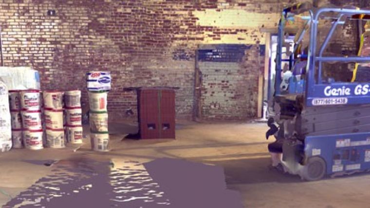
- The user carries Contour through a space to scan and generate a 3D map on the go.
- Contour is also used as a camera to automatically capture colour images with accurate location information relative to the model of the environment.
- When the scanning is complete, just the push of a button on Contour creates the Reality Layer through a sequence of fast and automated processing steps, resulting in a highly accurate 3D model with integrated imagery in minutes.
Potential Game Changer
Traditionally, it’s common to have dozens of drawings, scans, and image files – captured with multiple products, by multiple teams of people, in multiple stages over many days, weeks or months – all to provide answers about a single space, and even still they are difficult to align with each other and result in additional workflows. Kaarta’s patent-pending Reality Layer condenses that work to one product, operated by one person in a single pass. Kevin Dowling, CEO of Kaarta said they are proving that rich digital models of the world can be captured and put to use without costly and time consuming methods, making them accessible to many more users and able to be done on a frequent basis. Now with Reality Layer, complete, authentic, and immersive models are quick and easy.
This latest advancement has far-reaching benefits for professionals who require accurate and faithful 3D information.
- It eliminates call-backs to the site, as all of the necessary information resides in the point cloud, imagery, and resultant 3D model.
- It reduces the high upfront costs related to digitally capturing spaces, meaning it can be done on more sites, more frequently, and by more users.
- It enables the further adoption of Building Information Modelling (BIM) practices for built assets by providing access to well-structured digital information to all the necessary parties.
After scanning the boiler rooms of a major medical centre, Ray Steeb, CEO of Fasttac said Kaarta is a huge win for applications like facilities maintenance since it is incredibly easy to capture the layout of spaces that do not have up-to-date drawings, and that’s about 90% of existing buildings. The key is that we can then use the scans right away without having to model. And now, Reality Layer makes it even easier for users to get a visual ID on any given area, he added.

Value staying current with geomatics?
Stay on the map with our expertly curated newsletters.
We provide educational insights, industry updates, and inspiring stories to help you learn, grow, and reach your full potential in your field. Don't miss out - subscribe today and ensure you're always informed, educated, and inspired.
Choose your newsletter(s)


