rapidlasso Adds LAStools Lidar Processing Toolbox to QGIS
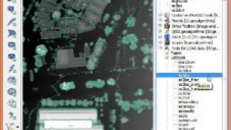
At the code sprint following the FOSS4G 2013 conference, rapidlasso completed a toolbox that exposes the extensive Lidar processing capabilities of the LAStools software suite within QGIS. QGIS (previously known as 'Quantum GIS') is a comprehensive desktop geographic information system that is free and open source software (FOSS).
QGIS has seen rapid growth in acceptance as a viable and cost-effective alternative to the commerical ArcGIS products of Esri. The newly integrated 'Processing' framework (previously known as 'SEXTANTE') allows to combine the Lidar functionality of LAStools with native raster and vector operations of QGIS as well as capabilities of other popular GIS packages such as GDAL, GRASS, SAGA, TauDEM, PostGIS and the (geo-)statistics package R. Detailed instructions on how to add the new LAStools toolbox to QGIS are available on the company's blog.

Value staying current with geomatics?
Stay on the map with our expertly curated newsletters.
We provide educational insights, industry updates, and inspiring stories to help you learn, grow, and reach your full potential in your field. Don't miss out - subscribe today and ensure you're always informed, educated, and inspired.
Choose your newsletter(s)


