Remote Sensing Study of Georgia Rangelands
Environment Systems has won a contract to carry out a study of the condition of the Georgia Rangelands using satellite imagery and its own established <a href="http://www.gim-international.com/news/id5419-HSE_Monitoring_Using_Remote_Sensing.html">remote sensing</a> expertise. The study is being undertaken under the Alliances Programme run by Mercy Corps and funded by the Swiss Agency for Development and Cooperation. The programme is focused on improving the beef, sheep and dairy sectors in the Kvemo Kartli region of Georgia.
It will provide a baseline from which to inform and guide program policy and future interventions surrounding access to pasture and improved nutrition for small scale livestock producers. It will be shared with the wider development community plus local and national government.
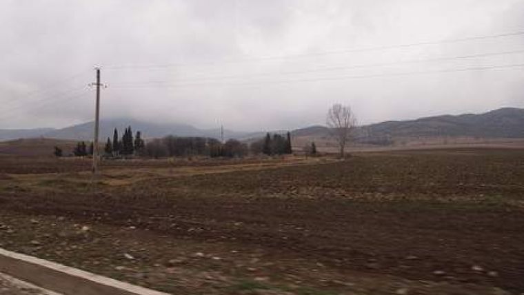
The Georgian Rangelands form a vast steppe of grasslands that stretch from central Russia, to the slopes of the Caucasus Mountains. They form part of the traditional and vital pastoral agricultural system of Georgia a large component of which is ‘transhumance', the movement of livestock from winter pastures to summer pastures on the higher mountains. The condition of the rangeland is a key concern, an indicator of the management and use to which it is subject, the level of its exploitation and the effects of climate change. Lack of vegetation cover, linked to climate change in these dry climates, can lead to potential desertification, exacerbated by overgrazing and the risk of fire.
This project will investigate existing rangeland ecology, meteorological patterns and local topography. There will also be a field based ‘ground-truthing' element including field surveys and local intelligence gathering to garner opinion, ascertain local perceptions of the effects of climate change and to improve project understanding of the livestock and farming system.
The extent of rangeland degradation will employ indices such as NDVI (Normalised Difference Vegetation Index) to provide an assessment of the amount of vegetative cover and the amount of bare ground present. The project will also seek to identify areas of rangeland that are currently under-utilised.

Value staying current with geomatics?
Stay on the map with our expertly curated newsletters.
We provide educational insights, industry updates, and inspiring stories to help you learn, grow, and reach your full potential in your field. Don't miss out - subscribe today and ensure you're always informed, educated, and inspired.
Choose your newsletter(s)


