Resolving Boundary Disputes
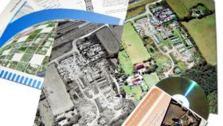
Aerial survey specialist Bluesky has launched a new way to obtain irrefutable evidence for use in boundary disputes and other land based disputes or studies. The OldAerialPhotos Photopack contains two digital image files; one archive aerial photograph of a location in the past and a corresponding image from the most recent aerial survey.
The Photopack also contains A4 printed versions of the aerial photos, a certificate of authenticity, a copy of the archive search details and the supporting flight report from the archive scan (where available). The OldAerialPhotos Photopacks offers savings of 30% against the list price of all items contained and is the ideal resource for site investigation, boundary disputes or local studies.

Value staying current with geomatics?
Stay on the map with our expertly curated newsletters.
We provide educational insights, industry updates, and inspiring stories to help you learn, grow, and reach your full potential in your field. Don't miss out - subscribe today and ensure you're always informed, educated, and inspired.
Choose your newsletter(s)


