RIEGL Delivers New Airborne Lidar Systems in North Dakota
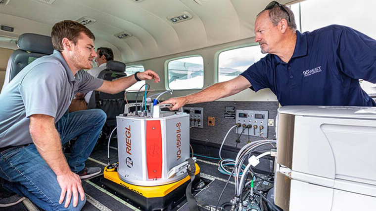
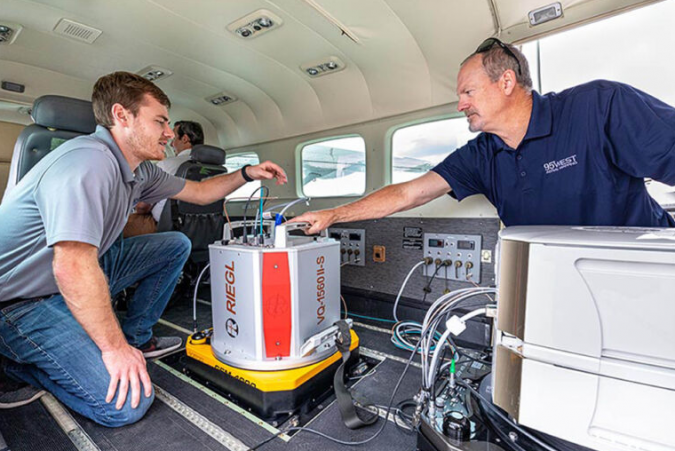
95West Aerial Mapping has completed integration and training, finalizing the delivery of RIEGL VQ-1560 II-S airborne laser scanners. The new Lidar system, with its doubled laser power and high pulse frequency, is set to allow 95West Aerial Mapping to more efficiently achieve a wide variety of projects, from wide-area collections to ultra-density corridor collections.
Formally known as KBM GeoSpatial, 95West Aerial Mapping’s name might be new, but the team has the geospatial experience that is ready to deliver on day one with the VQ-1560 II-S. Miles Strain, aerial services manager vice president, joins the team with over 35 years of acquisition experience in geospatial services. He looks forward to deploying the system and being able to turn around jobs faster than ever before, thanks to the new upgraded software and efficient workflow of RIEGL. They are among the first users to receive RIEGL’s new SNL (Serial number licences) which allows for unlimited processing and is ready to use for cloud or distributive processing setups.
Greater coverage areas with more detail and accuracy
The team not only chose the new VQ-1560 II-S for the sensor’s collection efficiency, but also for its ability to pair with their new Vexcel UltraCam Eagle Mark 3, which was added at the same time to provide their clients with excellent pairing. Not losing any momentum, they also completed the purchase of a brand-new aircraft Cessna 208B Grand Caravan and made the custom modifications to allow for two camera ports to be added. This very ambitious triple acquisition is part of the company’s desire to provide their clients with the best imagery and Lidar data available.
“With the new RIEGL VQ-1560 II-S, 95West now has the capacity to service larger projects of greater coverage areas with improved levels of detail and accuracy for federal, state and local governments, utilities and private entities,” said Miles Strain.
RIEGL USA’s division manager Joshua France stated: “The team is a great group to work with and the company’s vision to modernize its complete acquisition hardware from the sensor to the plane shows they are committed to success.”

Value staying current with geomatics?
Stay on the map with our expertly curated newsletters.
We provide educational insights, industry updates, and inspiring stories to help you learn, grow, and reach your full potential in your field. Don't miss out - subscribe today and ensure you're always informed, educated, and inspired.
Choose your newsletter(s)


