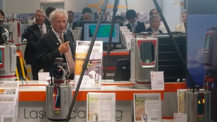
RIEGL Seizes Opportunity to Unveil New Products at Intergeo
On the first day of Intergeo, one company in particular was keen to stand out from the crowd. With a special UAV area at its stand, live demo UAV flights in the outdoor area and the unveiling of new, advanced products, RIEGL attracted the attention of Intergeo visitors and the geomatics media alike. The highlight was the release of the RIEGL VZ-400i 3D Laser Scanner: the evolution of RIEGL’s VZ-400 ultra-versatile terrestrial laser scanner.
With its advanced processing technology, data acquisition and simultaneous georeferencing, filtering and analysis become real time. Cloud connectivity via Wi-Fi and 4G LTE, MEMS IMU for pose estimation, as well as a high-end camera option and advanced flexibility through support for external peripherals are the basis for an extremely fast, effective and user-friendly workflow.
The compact and robust housing comes in a complete new design. The VZ-400i offers ultra-high-speed data acquisition at up to 1.2MHz Pulse Repetition Rate, an accuracy of survey-grade 5mm and delivers reliable scan data based on RIEGL’s proprietary know-how in laser scanning technology. The RIEGL VZ-400i is the fastest end-to-end terrestrial scanning system on the market, once again setting the benchmark in 3D laser scanning.
BathyCopter
After last year’s presentation of the RiCOPTER, the first fully integrated UAV-based Lidar surveying solution from one manufacturer, RIEGL proudly showcased its latest development in UAS-based laser scanning: the RIEGL BathyCopter. The BathyCopter is a small-UAV-based surveying system capable of measuring through the water surface, ideally suited for generating profiles of rivers or water reservoirs. The robust and reliable platform design integrates the topo-bathymetric green laser depth meter, an IMU/GNSS unit with antenna, a control unit and a digital camera.
RIEGL’s Intergeo booth this year comes with a special UAV island with RiCOPTER, Bathycopter and partner UAVs on display. Swiss Aeroscout is showing the VUX-1UAV in their Scout B1-100 and French Delair-Tech is displaying the VUX-1UAV in their fixed-wing, long-endurance UAV DT26X demonstrating the versatility of the RIEGL VUX-1UAV Lidar sensor.
At Intergeo’s UAV Flight Zone the outstanding flight performance of RIEGL’s RiCOPTER will be demonstrated during several demo flights.
Additional news from the airborne side: RIEGL announced the introduction of the VQ-880-G Topo-Bathymetric Airborne Laser Scanning System now equipped with an optional infrared channel to supplement the data acquired by the green laser and to further increase data reliability and quality.
Software
Besides all of the new hardware announcements, RIEGL also presented new, innovative software, including the new RIEGL Database (RDB) Format 2.0 offering one Level of Detail (LOD), additional point attributes, metadata information, and SDK for 3rd party support. RIEGL’s software package RiSCAN PRO 2.2 already supports the new RDB 2.0 format for improved visualisation and full attribute support. For ALS and MLS the streamlined algorithm of RiWORLD 5.0 processes files 60% faster and when combined with the new RiPROCESS, improves performance by up to 300%.
In addition to the comprehensive RIEGL product portfolio itself, RIEGL demonstrates the importance of its cooperation with numerous partner companies related to the surveying and GIS industry. Meet the following renowned companies directly at the RIEGL booth: Airborne Hydro Mapping, MILAN Geoservice, PHOCAD, Aeroscout and GeoInfo.
For more information please visit www.riegl.com.

Value staying current with geomatics?
Stay on the map with our expertly curated newsletters.
We provide educational insights, industry updates, and inspiring stories to help you learn, grow, and reach your full potential in your field. Don't miss out - subscribe today and ensure you're always informed, educated, and inspired.
Choose your newsletter(s)


