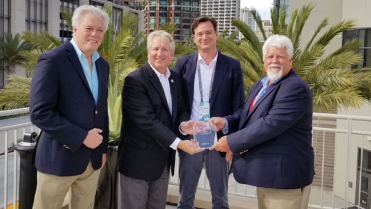
RIEGL Wins 2018 Esri 3D Impact Award
RIEGL has received the 2018 Esri 3D Impact Award during the annual Esri User Conference. The award was presented to the company during the Esri Imagery Summit in San Diego, California on 8 July 2018 in recognition of a joint initiative that RIEGL and Esri have been working on: the LMAP initiative.
“RIEGL understands what’s required to make 3D GIS come alive. Their sensors are revolutionising the notion of a 3D image, and as a trusted Esri Partner, we are working together to ensure our common customers are able to create the map they want” said Lawrie Jordan, Director of Imagery with Esri future.”
The LMAP, or Lidar Management Analytical Processing, was designed to leverage Esri’s ArcGIS Platform to store, manage, acquire, analyse and visualise RIEGL Lidar data. By leveraging Esri’s most advanced 3D technologies for desktop and web environments, new opportunities exist enabling better utilisation of Lidar collections in collaboration with an organisation‘s existing geospatial data.
“RIEGL’s offerings meet the demanding needs of 3D GIS. In addition to incredible resolution, they are also focusing their work to miniaturise their Lidar collection systems to support terrestrial and drone-based platforms” said Kurt Schwoppe, Business Development Manager for Remote Sensing with Esri. “The new RIEGL miniVUX-1UAV LiDAR sensor integrated with the DJI M600 opens an entirely new market for 3D GIS users who are interested in the precision mapping of micro-geographies”, he added.
Esri’s 3D Impact Award is a special award that provides recognition to an individual or organisation that has made outstanding contributions within the field of 3D GIS through remote sensing. Recipients are selected based on their efforts to discover and implement new methods or technologies for the collection or creation of content capable of powering 3D GIS.
“We are honoured and proud to be the recipient of this prestigious Esri 3D Impact Award, which demonstrates our continuing commitment to deliver a customer-oriented workflow of RIEGL Lidar data into market leading GIS environments.” said Johannes Riegl Jr., President of RIEGLUSA.

Value staying current with geomatics?
Stay on the map with our expertly curated newsletters.
We provide educational insights, industry updates, and inspiring stories to help you learn, grow, and reach your full potential in your field. Don't miss out - subscribe today and ensure you're always informed, educated, and inspired.
Choose your newsletter(s)


