Satellite Data Providers Sign Partnership for High-value Agricultural Data
Emerging satellite data providers ConstellR and ScanWorld have announced a new partnership which aims to leverage combined Earth observation expertise to provide data-driven insights for agriculture and vegetation monitoring.
The providers are set to combine their respective thermal infrared and hyperspectral imagery expertise to deliver high-value Earth observation data to enable a wide range of sustainable agricultural applications.
Thermal infrared and hyperspectral imagery
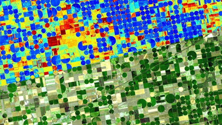
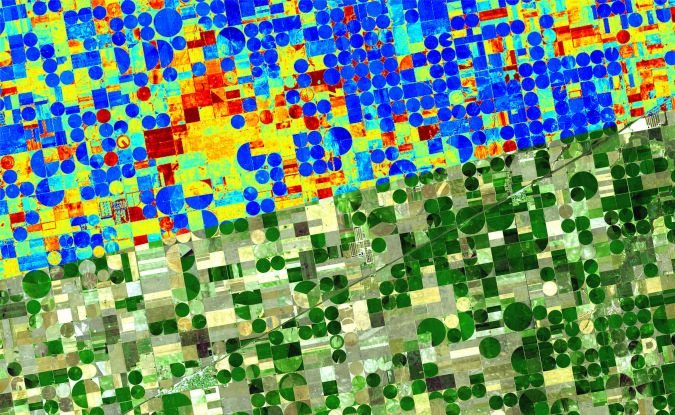
Based in Germany, ConstellR is pioneering the use of thermal infrared imagery for high-precision agriculture, crop health monitoring and sustainable resource management. Using surface temperature as the key indicator, this data uses evapotranspiration as a fundamental measure of crop water need: critical for irrigation and yield monitoring. Critically, this data allows farmers to mitigate potential crop losses long before irreversible damage occurs.
Belgian-based ScanWorld is leveraging hyperspectral imaging to collect data from across the electromagnetic spectrum. This technique allows the detection of very small changes in plant physiology, allowing measurement of proteins and identification of diseases to support worldwide agriculture and forestry management.
The synergy between these two essential Earth observation data sources therefore helps deliver new, actionable insights and encourages a more efficient use of resources and increased sustainability in the sector.
The Memorandum of Understanding between ConstellR and ScanWorld will include work on the harmonization and interoperability of data products, development of joint data products and services, as well as the potential for entering into joint commercial projects.
Interoperability
The partnership also ensures future interoperability with existing programmes. “This partnership increases our complementarity with large institutional missions such as the Copernicus program in Europe or the Surface Biology and Geology System at NASA in the United States," said Max Gulde, CEO of ConstellR. “It thus enables us to deliver an even better service to our customers in agriculture and beyond. In fact, I believe that what we are building here will be a game-changer for all ESG-related monitoring activities and enable a global quantification of key metrics with unprecedented accuracy, precision and timeliness.”
“We both benefit from a world-class techno-scientific background,” added Guerric de Crombrugghe, ScanWorld general manager. “This drives us towards high-quality products, which is a key requirement when it comes to delivering operational services. This is crucial in agriculture – the harvest depends on it – but in other sectors too. Combined with affordability, this is a real game-changer.”

Value staying current with geomatics?
Stay on the map with our expertly curated newsletters.
We provide educational insights, industry updates, and inspiring stories to help you learn, grow, and reach your full potential in your field. Don't miss out - subscribe today and ensure you're always informed, educated, and inspired.
Choose your newsletter(s)


