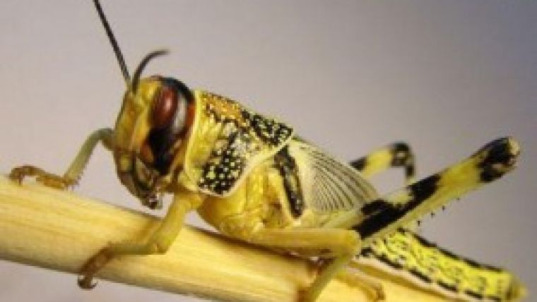
Satellite Imagery Assists Fighting Locust Plagues
DMC International Imaging (DMCii), the UK-based supplier of remote sensing data products and services, is helping The Algerian Space Agency (ASAL) to predict the spread of locust plagues across North Africa as part of a proactive approach to tackling the destructive phenomenon using satellite imagery.
Every year, North Africa is subjected to locust plagues that threaten to decimate crops and endanger countries’ food security. The satellite imagery is used to assess vegetation conditions, which helps to predict the locations of locust breeding grounds. The imagery, from the UK-DMC2 satellite, is used in conjunction with weather data to help create locust forecasts and focus the application of pesticides to prevent the spread of swarms.
Last year, in a six-month summer campaign to fight the spread of locusts, DMCii acquired monthly images of regions in Southern Algeria, Northern Mali and Northern Niger for ASAL. Now, imagery is being acquired before the summer season starts, to predict as well as monitor the threat of locusts.
Karim Houari, international cooperation director of the Algerian Space Agency commented the use of satellite imagery has helped his organisation in the past, during the invasion period, to identify and control areas at risk of locust swarms. This year, in terms of locust risk prediction in remission period, DMCii data was used for the ecological assessment of locust breeding areas (biotopes). It is an important contribution for the rationalisation of local response and to reduce damage of this destructive phenomenon, he added.
Paul Stephens, director of sales and marketing at DMCii, said the ability to get timely imagery of large areas is vital because locust swarms can develop quickly and travel about 100 kilometres a day. DMCii’s 650 kilometres wide images allow large areas of land, spanning multiple countries, to be rapidly monitored, helping the local authorities combat locust swarms before they can migrate across the continent.
DMC images enable regular monitoring of very large areas at high resolution, allowing detection of small areas of new vegetation after any rainfall. These show up as false colour red patches in the desert. The circular areas are irrigated crops which, as often the main source of vegetation in some areas, are put at special risk from locust swarms. Images which show sudden increases in vegetation can help identify potential hatching and swarm areas for locusts, enabling preventative action to be taken. Acquired by UK-DMC2 satellite, photo courtesy: DMCii.

Value staying current with geomatics?
Stay on the map with our expertly curated newsletters.
We provide educational insights, industry updates, and inspiring stories to help you learn, grow, and reach your full potential in your field. Don't miss out - subscribe today and ensure you're always informed, educated, and inspired.
Choose your newsletter(s)


