senseFly Announces Partnership with Leading Chilean Geospatial Solutions Firm
senseFly has entered into a new distribution partnership with GEOCOM Soluciones Geoespaciales, one of Chile's most experienced and trusted geospatial solutions firms.
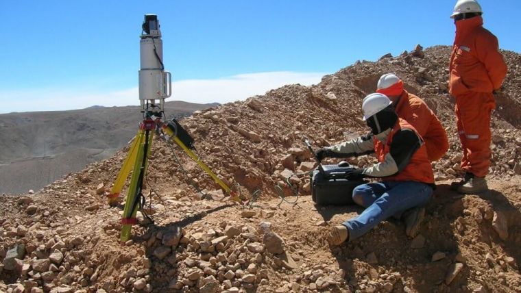
Founded in 1985, GEOCOM provides geospatial solutions for government, private and research institutions across several industries, including mining, forestry, construction and engineering. The company has built its reputation as a market leader by delivering sales, rental and technical services to professionals who require the very best geospatial solutions, including GNSS, laser scanners and UAS/UAVs – all of which are continually assessed by GEOCOM’s team of experts.
After several years of trialling alternative technologies, including leading VTOL systems, GEOCOM has selected senseFly – specifically the senseFly eBee X – as its drone mapping solution of choice.
“As the leading provider of best-in-class solutions to Chile’s geospatial professionals, we understand we must partner with other leaders and provide only the best solutions to our customers,” said Carlos Escudero, GEOCOM owner and general manager. “That’s why we’ve partnered with senseFly, the world’s leading provider of fixed-wing mapping solutions and why we’re pleased to offer the senseFly eBee X to the Chilean market.”
By adding senseFly’s proven suite of drone technologies to its product and service offerings, GEOCOM’s customers will continue to enjoy the same commitment to product quality and customer care they have come to expect from the organization.
“We’re very happy to partner with GEOCOM,” said Brock Ryder, senseFly global head of sales. “At senseFly, we’re all about giving our customers the very best in quality and service, and we’ve found a partner in GEOCOM who matches that philosophy in every possible way.”
Extensive Suite of Drone Sensor
The eBee X UAV is equipped with the Endurance Extension, unlocking a maximum flight time of 90 minutes – for vast coverage of up to 500ha (1,235ac) at 400ft – while its High-Precision on Demand helps you achieve absolute accuracy of down to 3cm, without GCPs.
GEOCOM customers will also gain access to senseFly’s extensive suite of drone sensors, such as the senseFly S.O.D.A. 3D, for stunning 3D reconstructions of vertical environments, the senseFly Aeria X RGB photogrammetry camera and the senseFly Duet T thermal camera for creating geo-accurate thermal maps. In addition to better servicing of customers in Chile and Latin America through its local support centres, GEOCOM customers will also gain access to senseFly’s extensive network of global support centres, which cover senseFly drone software, payloads and accessories.
The addition of GEOCOM brings senseFly’s vast global distribution network to more than 90 authorized centres around the world.

Value staying current with geomatics?
Stay on the map with our expertly curated newsletters.
We provide educational insights, industry updates, and inspiring stories to help you learn, grow, and reach your full potential in your field. Don't miss out - subscribe today and ensure you're always informed, educated, and inspired.
Choose your newsletter(s)


