SI Imaging Services Announces Reseller Agreement with Land Info
SI Imaging Services (SIIS) has reached a major reseller agreement with Land Info Worldwide Mapping (Land Info). The contract, effective from 1 January 2017, makes Land Info an authorised reseller of KOMPSAT data.
With this agreement, Land Info will expand its offering of value-added feature extraction and classification to include the use of KOMPSAT imagery. Commenting on the new agreement, Nick Hubing, president of Land Info, stated that imagery from the constellation of KOMPSAT-2, KOMPSAT-3, KOMPSAT-3A and KOMPSAT-5 is an important addition to their on-line search tool, so customers have access to the broadest range of archive imagery. SIIS support for worldwide sales streamlines Land Info’s ability to support transnational projects.
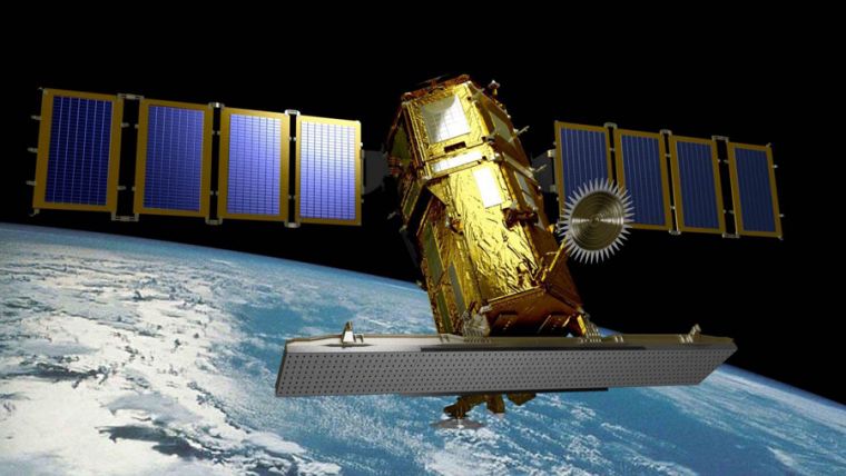
SIIS contributes to remote sensing and Earth observation societies by providing very high resolution optical and SAR images through over 80 partners worldwide. The KOMPSAT (Korean Multi-Purpose Satellite) programme is a part of the Korean government’s space development programme, which provides very high resolution satellite imagery to the global remote sensing community. KOMPSAT 3A, the most recent optical satellite among SIIS’ products, offers 40cm resolution imagery for a variety of purposes such as mapping, infrastructure monitoring and natural resources. KOMPSAT-5, the first Korean SAR satellite, offers very high resolution SAR imagery (up to 85cm) for change detection regardless of weather conditions.

Value staying current with geomatics?
Stay on the map with our expertly curated newsletters.
We provide educational insights, industry updates, and inspiring stories to help you learn, grow, and reach your full potential in your field. Don't miss out - subscribe today and ensure you're always informed, educated, and inspired.
Choose your newsletter(s)


