South Korean City Uses Digital Twin to Meet Challenges
A South Korean city is using a digital twin to become a truly smart city. Utilizing its geospatial infrastructure will enable it to engage its agencies and the public to help meet present and future challenges.
Incheon Metropolitan City, one of the largest cities in the Republic of Korea, is home to three million people and a sizeable population of mosquitoes. Exactly how many of the latter is difficult to say, but it is a question that interests the country’s public health officials.
Located on the northwest coast of South Korea, near Seoul, the nation’s capital, Incheon is a major industrial centre. Incheon anchors the western side of the Seoul Capital Area, the world’s second-largest megaregion. As the world continues to urbanize, the region will get even more crowded.
In this age of global pandemics, Incheon is also the gateway city to South Korea, with one of the world’s busiest international airports. “Due to the growth of overseas travel and global logistics, Incheon needs to be very careful about infectious diseases,” said Jo Gi-woong, a GIS expert who oversees Incheon’s smart city initiatives.
In recent years, South Korea has experienced an uptick in dengue fever, which is carried by mosquitoes. Warming in the region caused by climate change intensifies the threat of other foreign mosquito-borne diseases, including malaria, yellow fever, West Nile fever and Japanese encephalitis.
Real-time data
Downtown Incheon was the representative urban area in a recent study that examined how climate change is affecting the mosquito population on the Korean peninsula, and whether there was a correlating effect on disease spread. For three years, a monitoring system logged mosquito captures, transmitting the real-time data over a Long-Term Evolution (LTE) network to ArcGIS GeoEvent Server. System data can be cross-referenced with other geographic data, such as real-time feeds from the national weather service.
“We’re using an ArcGIS dashboard to monitor all this data together,” Jo said. “We share the information with related agencies to quickly identify vulnerable areas, so that the problem can be intensively and preemptively controlled.”
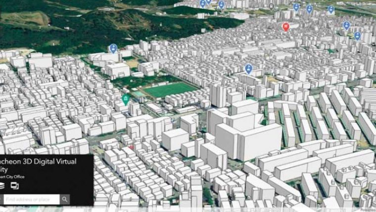
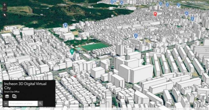
On the question of whether climate change was creating more mosquito-borne illnesses, the study was inconclusive. But the monitoring system itself was an example of an extraordinarily forward-thinking smart-city experiment unfolding in Incheon. Under Jo’s leadership, the city has built a digital twin, which was introduced in early 2021.

Value staying current with geomatics?
Stay on the map with our expertly curated newsletters.
We provide educational insights, industry updates, and inspiring stories to help you learn, grow, and reach your full potential in your field. Don't miss out - subscribe today and ensure you're always informed, educated, and inspired.
Choose your newsletter(s)


