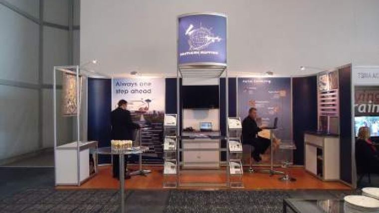
Southern Mapping Geospatial Celebrates
Southern Mapping Geospatial (SMG), the black-owned South African arm of Southern Mapping Company celebrates its first anniversary this month. Highlights include the first full-visible near-infra-red (VNIR) and short-wave infra-red (SWIR) airborne hyperspectral campaign ever conducted in South Africa where radiation exposure, Acid Mine Drainage, mine rehabilitation, water quality, hydrocarbon spills and asbestos mineral mapping were assessed on four operational mines.
The Lidar division has completed over twenty local surveys across the power, infrastructure and mining sectors and has seen the addition of Tebogo Senoge, a Lidar analyst with over 3 years of experience in the field. The GIS division continues to support the GIS component of the SKA bid and has added several new customers in the infrastructure sector. The rapid expansion of this division has seen the addition of Michael Breetzke with five years working experience in the field as GIS manager.
The remote sensing division has added several sensors to its portfolio and now boasts distribution agreements covering the full spectrum of optical satellite sensors ranging from 50cm resolution to 30m resolution and includes radar sensors which are actively being utilised for subsidence monitoring on active mines. "Our commitment to transformation in remote sensing sector will remain a focus in the coming year and we look forward to building on our successes" concludes Mr Sibandze.

Value staying current with geomatics?
Stay on the map with our expertly curated newsletters.
We provide educational insights, industry updates, and inspiring stories to help you learn, grow, and reach your full potential in your field. Don't miss out - subscribe today and ensure you're always informed, educated, and inspired.
Choose your newsletter(s)


