Space-based Imagery Supports Typhoon Relief Efforts
MDA's Information Systems, Canada, has announced that its space-based imagery is being used to assess the impact of Typhoon Bopha which struck the Mindanao region of the Philippines on 4 December 2012. MDA provided imagery acquired by the RADARSAT-2 satellite over the southern Philippines to support disaster relief efforts.
The first imagery covering the Mindanao region was acquired on 4 and 5 December and was provided to the University of the Philippines just hours after the storm hit. The imagery of the Cagayan de Oro and Iligan river basins in Mindanao allowed the university to complete an initial assessment of the extent of flooding. Secondary, focused image collection was taken on 7 and 9 December in support of the International Charter, ‘Space and Major Disasters’.
When a natural disaster of the magnitude experienced in the Philippines occurs, there is an urgent need to identify major changes that have an impact on the people and infrastructure on the ground. Satellite imagery acquired immediately after the event provides updated views of how the landscape has changed and the extent of damage to critical infrastructure such as buildings, roads and airports. These images can be compared with satellite imagery taken before the event to help identify areas that have been hit hardest by the disaster and to determine passable routes for aid workers as well as safe areas suitable for establishing aid camps for the provision of shelter and medical support.
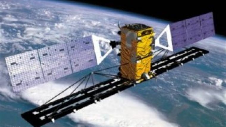
Launched in 2007, RADARSAT-2 is the world's most advanced commercial C-band synthetic aperture radar satellite. RADARSAT-2 offers new imaging capabilities and a faster turn-around schedule for data acquisition and product delivery. It provides enhanced information for applications such as environmental monitoring, ice mapping, resource mapping, disaster management and marine surveillance. RADARSAT-2's ability to collect imagery independent of darkness or inclement atmospheric conditions is a valuable support during times of emergency to supplement airborne and ground resources for local and regional damage assessment.

Value staying current with geomatics?
Stay on the map with our expertly curated newsletters.
We provide educational insights, industry updates, and inspiring stories to help you learn, grow, and reach your full potential in your field. Don't miss out - subscribe today and ensure you're always informed, educated, and inspired.
Choose your newsletter(s)


