Spectroradiometer Training Session at SANSA
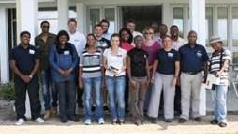
Hosted at the South African National Space Agency (SANSA) facility in Hartebeesthoek, South Africa, Spectral Evolution and its partner, Southern Mapping Company, offered a day of training on newly acquired PSR-3500 spectroradiometers. The training day was held on 11 February 2013.
Attended by Earth observation data users, the session focused on training users on the PSR-3500 and its accessories so they can use the units to capture reflectance spectra from minerals, plants, and other materials to analyse many phenomena including acid mine drainage (AMD). The spectra collected can be associated with acquired images, for example, images from a ProSpec TIR VS airborne camera operated by Southern Mapping Company. Also images from the hyperspectral sensors on a satellite could be used with a PSR-3500 spectroradiometer to map AMD affected areas.
The course, presented by Dayton Jones, technical sales specialist from Spectral Evolution, included indoor classroom instruction as well as the opportunity for attendees to experiment in the field, collecting spectra with two PSR-3500s. A follow-up training session including intense practical use focusing on field methodology for spectra collection and analysis techniques is planned for spring 2013.
The PSR-3500 provides the following capabilities for remote sensing, vegetation studies, environmental research and geological remote sensing:
-
Full range UV/VIS/NIR in one scan
-
Very fast scanning – autoshutter, autoexposure, auto-dark correction
-
Small, lightweight, less than 8 lbs., and reliable with no moving parts
-
Works with laptop or Getac PS236 Personal Digital Assistant (PDA)
-
Getac is very suitable for single user operation – tag scans with digital images, GPS, and audio notes – features sunlight readable screen
The PSR-3500 is equipped with the exclusive DARWin SP Data Analysis software package offering the following analysis features:
-
Automatically saves data as an ASCII file to 3rd party software – no extra export function is necessary
-
Collect reference or target data with a single click
-
Display reflectance/transmittance data (percentage) or absorbance (logarithmic) versus wavelength
-
Single and multiple spectral plots available
-
Compare current scans against libraries
For more information on spectroradiometers for remote sensing, please visit the website of Spectral Evolution.

Value staying current with geomatics?
Stay on the map with our expertly curated newsletters.
We provide educational insights, industry updates, and inspiring stories to help you learn, grow, and reach your full potential in your field. Don't miss out - subscribe today and ensure you're always informed, educated, and inspired.
Choose your newsletter(s)


