
SPOTTED Hackathon Looking for Open Data Solutions for Managing Urban Green Areas
The virtual hackathon of the SPOTTED project is looking for new solutions and prototypes utilizing satellite remote sensing data to support urban green areas management and sustainable urban development. Proposals are welcomed until 11 November. The best proposals will receive cash prizes.
The consortium of SPOTTED and DYDAS – both projects funded by the Connecting Europe Facility (CEF) programme – together have launched a virtual hackathon for developers, researchers, students and technology enthusiasts. The hackathon is a competition for innovative ideas aimed at developing new smart city services, solutions and applications. The hackathon proposals can be complete solutions or prototypes related to technical challenges or operative activities in cities.
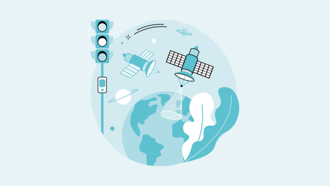
The SPOTTED project is focusing on new ideas for management, planning and maintenance of urban green areas. In the hackathon, the focus is on presenting participating cities Helsinki, Milan and Naples new ways to utilize open data in their decision making and monitoring of green areas. Forum Virium Helsinki, the City of Helsinki innovation company, is a partner in the SPOTTED project and supports the implementation of SPOTTED pilots in Helsinki. The City of Helsinki is particularly interested in new innovative analysis or use cases that utilize satellite and remote sensing data and could be used to support data-driven decision-making in regards to the city's objective to become carbon-neutral by 2030.
Participation in this virtual hackathon is free of charge. The competition is a great opportunity to gain international visibility and the best ideas will receive cash prizes. Furthermore, participants get a chance to introduce innovative solutions directly to the partner cities of the SPOTTED project. To participate, please fill in the form on the CEF Virtual Hackathon webpage and submit it by 11 November 2022. A panel of experts will judge the proposals on 16 November 2022.
See here for more information about the hackathon

Value staying current with geomatics?
Stay on the map with our expertly curated newsletters.
We provide educational insights, industry updates, and inspiring stories to help you learn, grow, and reach your full potential in your field. Don't miss out - subscribe today and ensure you're always informed, educated, and inspired.
Choose your newsletter(s)


