SuperGIS Server 3.1a Supports Complete Geoprocessing Service
Supergeo Technologies, a Taiwanese global provider of complete GIS software and solutions, has announced that its SuperGIS Server 3.1a Advanced edition supports complete geoprocessing services, assisting enterprises in publishing analysis services to front-end applications.
SuperGIS Server 3.1a is professional server GIS software designed to enable enterprises to create, manage, integrate, and publish various types of GIS services. Therefore, spatial data, imagery and GIS functions can be applied as GIS services in desktop, mobile and web applications over the internet to help organisations build ideal workflow, as well as improve decision-making and operational productivity.
With comprehensive analysis functions, SuperGIS Server 3.1a Advanced edition not only allows organisations to easily publish geoprocessing services but also enables front-end users to analyse the spatial data through internet browsers. Besides, SuperGIS Spatial Analyst, Network Analyst, 3D Analyst, and Spatial Statistic Analyst are also available to perform in-depth analyses.
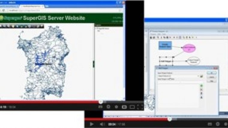
Supergeo provides two demonstration videos, Design Clip Service and Publish Clip Service, which aim to guide users on how to effectively prepare data, customise websites and publish geoprocessing services.
To watch the demonstration videos, please visit SupergeoTV.

Value staying current with geomatics?
Stay on the map with our expertly curated newsletters.
We provide educational insights, industry updates, and inspiring stories to help you learn, grow, and reach your full potential in your field. Don't miss out - subscribe today and ensure you're always informed, educated, and inspired.
Choose your newsletter(s)


