Synspective and Insight Terra join forces for mine tailings monitoring
Synspective has partnered with Insight Terra to offer a new space-based monitoring solution for the mining industry. The solution combines satellite and Earth observation data with ground sensors to monitor mine tailings facilities. Synspective is a Tokyo-based provider of SAR satellite data and solutions, while Insight Terra is a London-based start-up specializing in cloud-based environmental and infrastructure risk management.
The partnership combines Insight Terra's cloud-based IoT platform with Synspective's advanced SAR data analytics, enabling the use of real-time ground truth and Earth observation data for proactive monitoring and alert generation.
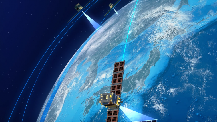
Insight Terra's flagship product for mining, Tailings Insight, is being used by several global mining companies for tailings dam monitoring. Synspective operates high-resolution, high-frequency SAR satellites called StriX, providing top-quality datasets and solution services.
InSAR monitoring of metals and minerals
With three satellites already in targeted orbit and plans to establish a constellation of 30 satellites and an analytics platform by the late 2020s, the integration of Synspective's SAR data into Tailings Insight will offer powerful Earth observation capabilities. This advanced technology can monitor ground movement and land deformation, which are two key indicators of potential failures in tailings facilities, mine walls and water dams, among others.
The companies will initially focus on the global mining industry. The World Bank estimates that global mining activity will increase by more than 500% over the next decades in response to the global need for metals and minerals to support the global clean energy transition. The Tailings Insight solution including new InSAR (satellite radar interferometry) capabilities will be a leap forward for mining operators, investors and regulators seeking to monitor and mitigate potential mine related disasters affecting people, communities and the environment.
The partnership is timely, addressing the need for better monitoring of risks from tailings dams and solutions to prevent environmental hazards. The combined solution is aligned with the Global Industry Standard on Tailings Management (GISTM) promulgated in 2020 by the International Council on Mining and Metals (ICMM), the United Nations Environmental Program (UNEP) and Principles for Responsible Investment (PRI). The GISTM requires mines with high-risk tailings facilities, both active and closed, to comply by August 2023. This solution meets that timeline.
Data-driven learning approaches
Founder and CEO of Synspective, Dr Motoyuki Arai, stated: “We are excited to be working with Insight Terra to provide space-enabled monitoring of critical infrastructure such as mining operations and tailings dams. With our third StriX satellite and onsite data acquired by Insight Terra, we will greatly increase the availability of analytical data for real-world applications to help prevent and mitigate potential catastrophes. This is a productive step toward realizing a more resilient and sustainable world with data-driven and collective learning approaches.”
Insight Terra co-founder and CEO, Alastair Bovim, commented: “Space has been an important part of Insight Terra’s heritage. Inmarsat, the leading global mobile satellite company, is one of our founding shareholders and key partners, and we have delivered a number of innovative environmental monitoring projects together with Inmarsat and the European Space Agency (ESA). Adding Synspective’s Earth observation data bolsters our space enabled data and monitoring capabilities and is integral to our mission of protecting people, and the environment, from potential disasters such as the mine tailings facilities collapse in South Africa last September. The integrated mine monitoring solution that we will deliver in partnership with Synspective, including satellite connectivity and Earth observation data, real-time IoT and valuable ground truth sensors and data, will be a huge step toward this goal.”


Value staying current with geomatics?
Stay on the map with our expertly curated newsletters.
We provide educational insights, industry updates, and inspiring stories to help you learn, grow, and reach your full potential in your field. Don't miss out - subscribe today and ensure you're always informed, educated, and inspired.
Choose your newsletter(s)


