Teaming up for Canada's Largest BVLOS Drone Trial
One of Canada's leading commercial drone operators, IN-FLIGHT Data, is embarking upon Canada's largest beyond-visual-line-of-sight (BVLOS) UAS operations trial to date, with support from senseFly, the industry’s leading provider of professional mapping drones and a commercial drone subsidiary of Parrot Group.
The project’s goal is to demonstrate that BVLOS UAS flights can be conducted safely and efficiently, while providing cost reductions and/or operational efficiencies for the different use-cases involved.
Chris Healy, the owner of IN-FLIGHT Data, said his team is excited to get the go ahead for this ambitious project. Working closely with senseFly and the company’s 20 partner organisations, they will be collecting a huge amount of geo-accurate data – across many types of long-range drone applications – which will help contribute to the creation of pragmatic future BVLOS legislation.
Broad range of BVLOS missions
The scope of this trial is unique in Canada, if not the region, said senseFly’s regulatory project manager, Samuel Dépraz. The vast amount of flight safety data and learnings that Chris' team will collect and share will be extremely beneficial to the future growth of Canada’s commercial drone industry, stated Dépraz, adding that other regulators around the world will be following this project with interest.
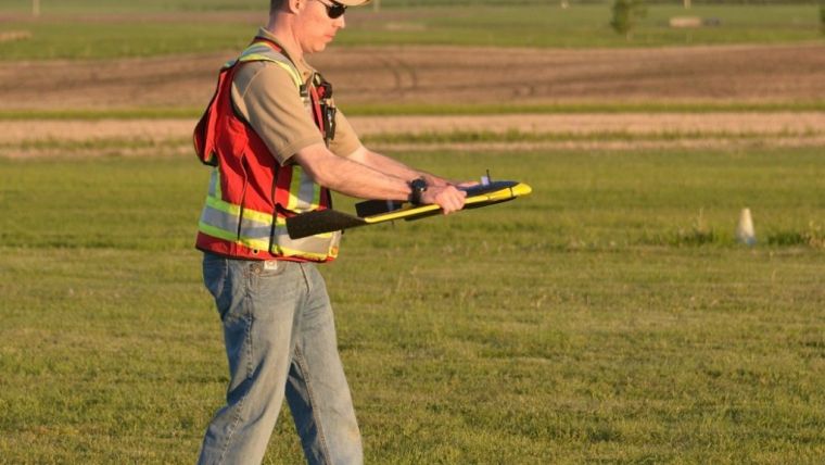
IN-FLIGHT Data’s trial will run until early November. During this time the company will aim to complete one BVLOS mission per week. Defined by the trial's 20 partner organisations, these missions will span everything from pipeline surveys and crop mapping to landfill volume analyses, graveyard inventory assessments and even search and rescue applications.
Key trial statistics include:
- 14 different test sites: some specific Transport Canada 'in-range' sites, others 'off-range' open airspace sites in rural locations.
- 2 drones (UAS): senseFly eBee Plus & senseFly eBee
- Flights up to 10 km in length
- Over 1,500 km total linear flight distance
- More than 120 datasets: spanning both RGB and thermal infrared aerial imagery.
- Human observers will monitor flights and air traffic in order to compare their observations, for example, with operators' ground station software experiences.
The reasons IN-FLIGHT Data made this trial so large are two-fold, said Healy. The more data, the better the risk models Transport Canada can create, which will help them to create safety-focused BVLOS regulations that benefit everyone. And secondly, there are just so many potential BVLOS applications out there, the company really wanted to explore a good number of these.
Defining BVLOS risk models
The flight safety data collected during the trial will be provided to Unmanned Systems Canada and TC to help define BVLOS risk models for different categories of unmanned aircraft. In the case of IN-FLIGHT Data, the eBee and eBee Plus drones it will use during the trial, designated 'Compliant' systems by TC, fall within Canada’s TC’s proposed 'Very Small' (sub-1kg) and 'Complex operations (urban)' commercial drone categories respectively. These UAS will be operated using senseFly’s commercial-grade eMotion ground station software, which includes integrated air traffic and geo-awareness data – key to running safe BVLOS operations in non-controlled airspaces – courtesy of AirMap and uAvionix air traffic data systems.
In 2017, senseFly became the first drone operator to be granted ‘anytime’ Beyond Visual Line of Sight (BVLOS) authorisation in Switzerland, plus its systems are currently approved for BVLOS use in France, Spain, Denmark and China. senseFly was also one of several organisations that were instrumental in the success of last year’s ground-breaking Unmanned Traffic Management (UTM) demonstration in Geneva (Swiss U-space demo). The eBee Plus, eBee SQ and albris were designated ‘Compliant Unmanned Aerial Vehicles (UAV)’ by TC in August 2017, while senseFly’s original eBee drone became Canada’s first compliant fixed-wing drone back in 2015.

Value staying current with geomatics?
Stay on the map with our expertly curated newsletters.
We provide educational insights, industry updates, and inspiring stories to help you learn, grow, and reach your full potential in your field. Don't miss out - subscribe today and ensure you're always informed, educated, and inspired.
Choose your newsletter(s)


