Terra Future Focused on Linked Data
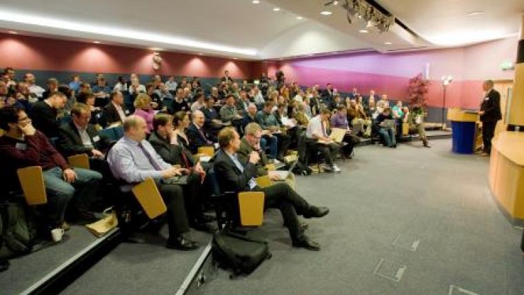
Highlighting the key role of geographic information (GI) in the development of linked data over the Web was the focus of a seminar in Ordnance Survey's Business Centre last week. Over 100 delegates from business, government and academia attended Terra future - Forging Links along with Sir Tim Berners-Lee, inventor of the World Wide Web, and Professor Nigel Shadbolt.
Wednesday 10 March saw the discussion of linked data as a new means of publishing and connecting data on the Web. This rapidly growing area recognises geography as being important as a means to help link data, and Ordnance Survey is seen as a leader in this area.
Delegates were given a gentle introduction to both linked data and geographic information, starting with Tom Heath of Talis giving an overview of linked data before Liz Ratcliffe of Ordnance Survey covered the power of geography. Chris Parker, Innovation Manager at Ordnance Survey, gave a brief summary of the GeoVation initiative and how it can embrace innovations that include linked data. Delegates also heard Silver Oliver of the BBC giving a fascinating description of how the BBC is already using linked data, including how they have linked to Ordnance Survey data.
Sir Tim Berners-Lee and Professor Nigel Shadbolt shared their vision for the recently announced Making Public Data Public government initiative before introducing John Sheridan from OPSI, who explained how government is now take this forward. Sir Tim Berners-Lee emphasised that geospatial data was really important, but it is only a fraction of the data out there. Using the example of showing a church on an Ordnance Survey map, he described how linked data would include the denomination of the church, details of services, church committees and much more on top of the geospatial data.
Terra future - Forging links was organised by Ordnance Survey's Research team, with the aim of bringing the GI community and linked data community closer together. Brian Higgs of Dudley Borough Council gave a panoramic view of the diversity of uses of GI within just one organisation before Hugh Glazer of Sameas.org gave a demonstration of some of the practical issues related to linked data. The afternoon session finished with delegates discussing practical joint uses of linked data and GI. Glen Hart, Head of Research at Ordnance Survey, said "It was excellent to see people from across the GI and linked data communities coming together and finding new ways of collaborating."
For more information, visit the Terra future website. It will be updated in the next two weeks to include summaries of the day, including Twitter tweets made as the seminar took place.

Value staying current with geomatics?
Stay on the map with our expertly curated newsletters.
We provide educational insights, industry updates, and inspiring stories to help you learn, grow, and reach your full potential in your field. Don't miss out - subscribe today and ensure you're always informed, educated, and inspired.
Choose your newsletter(s)


