Terrestrial GPS Augmentation Network
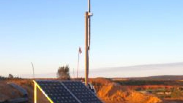
Mining fleet management specialists Leica Geosystems have launched their GPS Augmentation Network, incorporating technology developed by Locata Corporation. The terrestrial network ensures 24/7 positioning coverage in adverse GPS situations.
Open-cut mines can present challenges for satellite based positioning as the pit becomes deeper, and on sites where the walls are steep. The positioning signals transmitted from satellites can become obstructed by the pit walls, reducing GPS availability and accuracy. The angle of ‘sky view' is further reduced where machinery is in close proximity to the pit walls. Leica's GPS augmentation network fills holes in coverage and ensures consistent and accurate positioning is always available.
Under an exclusive technology partnership with Locata, Leica's Jigsaw360 is the first fleet management system with the ability to replicate the GPS satellite constellation from the ground. This ground breaking technology enables a level of control and flexibility which is not possible from the satellite GPS network.
With this development, Leica Geosystems and Locata have made a significant advance in the availability of consistent positioning signals. The efficiency and productivity benefits of total positioning coverage make an impact on productivity today; the technology is also a significant step forward in other areas, including GPS collision avoidance systems, and for automated mining developments. In these applications, constant and accurate positioning is critical to safe operation.

Value staying current with geomatics?
Stay on the map with our expertly curated newsletters.
We provide educational insights, industry updates, and inspiring stories to help you learn, grow, and reach your full potential in your field. Don't miss out - subscribe today and ensure you're always informed, educated, and inspired.
Choose your newsletter(s)


