The Importance of Reliable Geospatial Data for Reconnecting
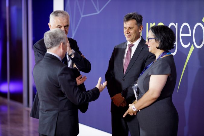
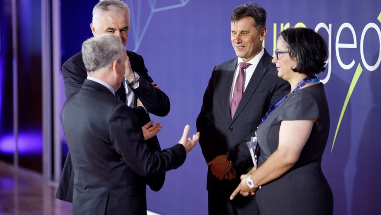
Leaders of Europe’s national mapping, cadastral and land registration authorities met in Sarajevo last week to discuss the role of official geospatial data in reconnecting post-pandemic.
EuroGeographics’ General Assembly 2022 heard that user requirements for official geospatial data will form the foundation for future collaborations as a series of speakers demonstrated its importance in preparing for the decade of action, as well as in recovery and resilience programmes. Users from the United Nations, the European Parliament and the European Commission and its agencies also expressed a strong desire to work in partnership with the Association and its members.
Achieving Ambitions
“In uncertain times, authoritative mapping, cadastral and land registration information provides certainty to those with responsibility for making critical decisions,” said Colin Bray, president of EuroGeographics. “Reliable geospatial data is therefore crucial for reconnecting post-pandemic, and as national sources of mapping, cadastral and land registration information, our members have a key role to play in Europe’s resilience and recovery programme and in addressing key issues that extend beyond national boundaries.”
“Achieving ambitions against a backdrop of change requires reconnection – reconnection with members, reconnection with stakeholders, and reconnection with users – to ensure we continue to provide the high-quality data and services that underpin the infrastructures relied on by modern society,” he added. “Our challenge now is to meet the needs of users in a way that can be sustained for the benefit of all.”
Hosted by the Federal Administration for Geodetic and Real Property Affairs in Sarajevo, the annual conference was opened by Fadil Novalić, prime minister of the Federation of Bosnia and Herzegovina, and Ankica Gudeljević, minister for Civil Affairs.
During the formal business of the Association, Colin Bray, Ordnance Survey Ireland, was re-elected to the Management Board and as the Association’s president.


Value staying current with geomatics?
Stay on the map with our expertly curated newsletters.
We provide educational insights, industry updates, and inspiring stories to help you learn, grow, and reach your full potential in your field. Don't miss out - subscribe today and ensure you're always informed, educated, and inspired.
Choose your newsletter(s)


