thinkWhere Opening up Access to European Mapping
thinkWhere is set to develop a gateway that will provide easy online access to official maps from more than 40 European countries. The company will work alongside EuroGeographics on the ‘Open Maps for Europe’ project. The project is designed to increase the use of open data to boost the development of innovative location-based services, driving economic growth and increasing competitiveness by reducing costs. thinkWhere is a Scottish cloud IT company and specialist in geospatial data and open-source technology.
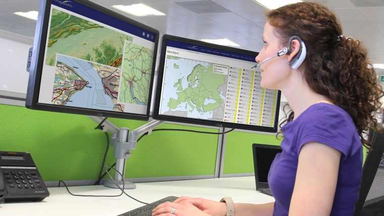
As part of the Open Maps for Europe project, thinkWhere will design, develop and deliver an easy-to-use gateway to data including topographic maps, 3D height models, aerial photography and gazetteer data. thinkWhere was awarded this major contract following its successful response to an open tender published in the Official Journal of the European Union. Open Maps for Europe is co-financed by the Connecting Europe Facility of the European Union and is co-ordinated by EuroGeographics, an independent, not-for-profit organization that represents Europe’s National Mapping, Cadastral and Land Registration Authorities, in partnership with the National Geographic Institute (NGI) in Belgium.
The vital role of reliable and accessible geodata
“As the official sources of map, land and property information our members’ data is fundamental to the everyday lives of people across Europe. This information underpins the delivery of public services, provides certainty of property ownership and can help save precious time, potentially lives, when responding to emergencies,” commented Angela Baker, programme manager, data access and integration at EuroGeographics. “In an ever-connected world this data is also increasingly being used in a wide range of applications relied upon by both citizens, business and government.
“However, Open Maps for Europe is not just about delivering data, it’s about making that data easy to find, easy to access and easy to use,” she continued. “thinkWhere’s proven expertise in developing user-centric interfaces is critical to the success of the project, and indeed EuroGeographics’ wider strategy for data access. We are delighted to be working with them and look forward to making the first datasets available this summer.”
Alan Moore, chief executive of thinkWhere added: “We are excited to continue our relationship with EuroGeographics, and the wider European geospatial community, having already completed projects using open-source technologies to remove barriers to use and promote the take-up of cross-border open data across Europe.
“thinkWhere’s overriding mission is to make geographic data accessible and usable,” he continued. “By harnessing the power of our cloud-based, geospatial data infrastructure we will drive the development of a user-centric portal that makes it easy to find, view, publish and share the rich suite of digital mapping supporting the primary objectives of The Open Maps for Europe project.”
Open Maps for Europe will signpost and provide easy access to pan European data created using official map, geospatial and land information and will run until 31 December 2022.

Value staying current with geomatics?
Stay on the map with our expertly curated newsletters.
We provide educational insights, industry updates, and inspiring stories to help you learn, grow, and reach your full potential in your field. Don't miss out - subscribe today and ensure you're always informed, educated, and inspired.
Choose your newsletter(s)


