Topodrone Advances Airborne Bathymetric Surveying with New UAV Solution
Topodrone, a Swiss-based designer and manufacturer of high-precision Lidar equipment for installation on drones, vehicles and backpacks, has launched Aquamapper, a UAV-based solution for bathymetric surveying and marine construction. The new multitasking data-collection device and Topodrone Lidar Ultra equipment have been successfully used together for airborne surveying at a highway construction project in Romania, EU to deliver a full digital twin of a studied area.
Aquamapper is a brand-new hardware developed in-house by Topodrone and contributes to a complete set of photogrammetry, Lidar and bathymetry surveying solutions. This new product mounted on a UAV provides a combination of high-speed efficiency (up to 14km/h) and accuracy. It is a PPK-ready solution, compatible with the DJI Matrice 300 RTK UAV. Application areas include but are not limited to open sea bathymetric surveys up to 100m depth, quantity surveys and calculation of sediments and periodic maintenance surveys of storage pools.
UAV-based Bathymetric Riverbed Mapping
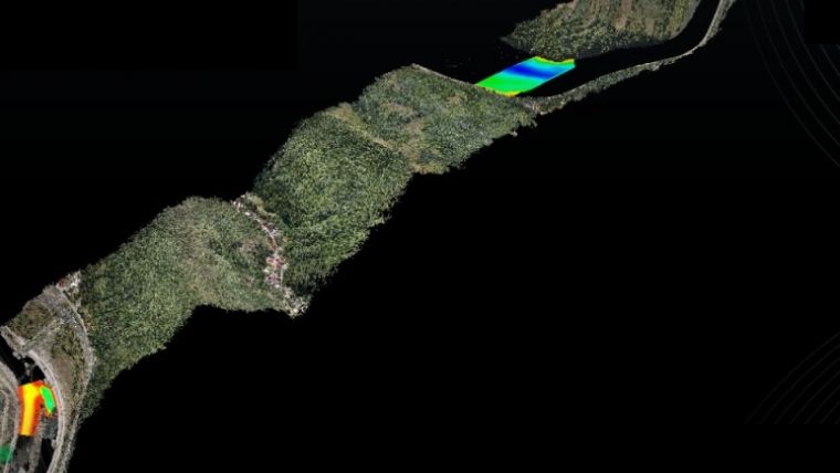
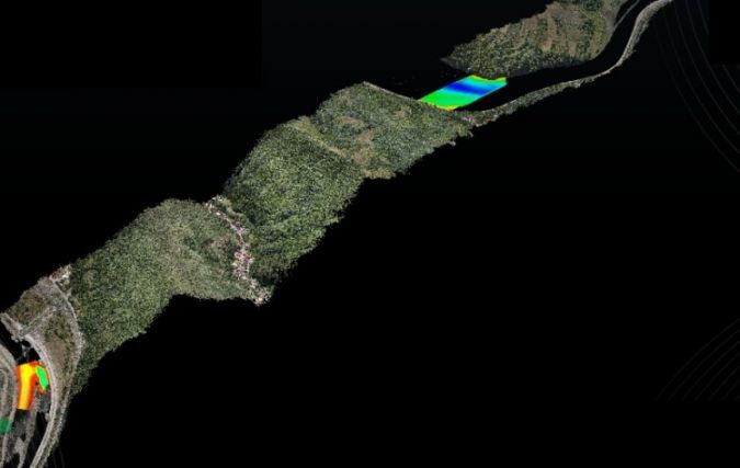
Topodrone Aquamapper and Lidar Ultra have been used for airborne surveying at Autostrada Sibiu – Pitești, Secțiunea 2: Boița - Cornetu, a European road construction project. A highway is being built in one of the toughest terrains in Romania and includes seven tunnels, 24 bridges and 18 viaducts. The drone Lidar corridor and bathymetric survey was performed by the Romanian company Graphein Topo SA to provide accurate maps and up-to-date information on terrain level, buildings, roads, power line networks, cadastral boundaries and so on, as well as rivers. The Topodrone Lidar Ultra onboard the DJI M300 drone was used to capture laser scanning data from 100 to 120 metres altitude over rugged forest terrain to cover a 32km long and 400 metre wide corridor in 14 flights, while Aquamapper connected to the same DJI M300 drone performed a bathymetry survey over six river crossings.
“The key advantage of the new bathymetric equipment from Topodrone is the ability to capture a riverbed with centimetre-level accuracy at high speed in fully automatic mode and without a boat. It therefore allows us to work in hard-to-access and shallow-water areas. Furthermore, the same drone carrier can be used for both the Lidar and bathymetry surveys. The combination of an echosounder, GNSS and inertial measurement system helps to obtain accurate results after post processing,” explained Andrei Sueran, Graphein Topo.

Value staying current with geomatics?
Stay on the map with our expertly curated newsletters.
We provide educational insights, industry updates, and inspiring stories to help you learn, grow, and reach your full potential in your field. Don't miss out - subscribe today and ensure you're always informed, educated, and inspired.
Choose your newsletter(s)


