Twice the Data in Half the Flying
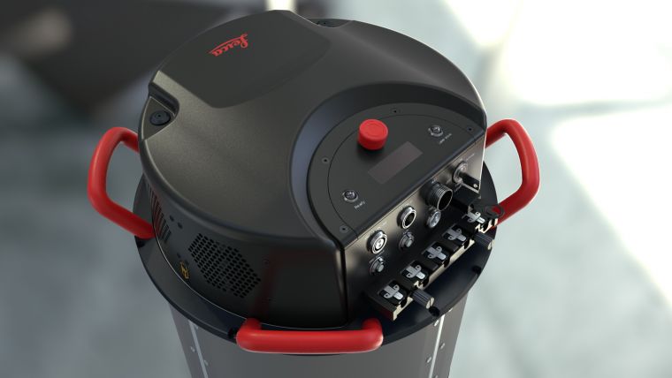
As urban environments change rapidly, the speed of mapping a city also needs to increase. Image data and Lidar data, therefore, must be collected at the same time, a requirement that gave birth to the Leica CityMapper, the world’s first hybrid airborne sensor specifically designed for urban mapping applications. The simultaneous acquisition of nadir and oblique image data as well as Lidar data offers the most cost-effective way to generate a comprehensive geospatial base map for city planners and those who are engaged in urban mapping with oblique images, orthos, DSM and DEM as well as derivate products out of the combined dataset, such 3D buildings and mesh.
Vertical solution for urban mapping
In recent years it has become evident that a professional workflow solution is as important as high-end sensor technology. This is maybe even truer in urban environments that are usually subject to rapid changes and thus have a higher need to provide up-to-date data for navigation, planning purposes and visualisation. In order to meet the demands of mapping professionals that require a large throughput of large amounts of data without the loss of quality, Leica Geosystems has introduced Leica HxMap, a common workflow platform for high volume production supporting all Leica Geosystems airborne sensors. While Leica HxMap has been available for Leica DMCIII and Leica RCD30, it will now also be capable of processing Lidar data from the Leica CityMapper, developing into a unique platform to generate, visualise and analyse imagery and point clouds as well as their derivative products.

Value staying current with geomatics?
Stay on the map with our expertly curated newsletters.
We provide educational insights, industry updates, and inspiring stories to help you learn, grow, and reach your full potential in your field. Don't miss out - subscribe today and ensure you're always informed, educated, and inspired.
Choose your newsletter(s)


