UAE Embraces Space Technology
Speaking during the first panel session of the Global Space and Satellite Forum 2011 (GSSF), UAE, Ahmed Al Mansoori, director general, Emirates Institution for Advanced Science and Technology, today emphasised the impact of satellite technology across urban planning, disaster management and education.
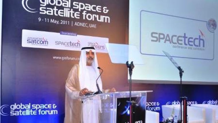
The region’s leading event for organisations involved in commercial or military space operations, held at ADNEC, GSSF was officially opened on Monday 9 May by HE Sheikh Nahayan Mabarak Al Nahayan, Minister of Higher Education and Scientific Research, United Arab Emirates.
Setting the direction and tone for the forum during his welcome address, HE Sheikh Nahayan said: “The benefits of worldwide investment in space technology are woven integrally into our daily lives, impacting all segments of society.” He also highlighted the importance of education in developing the sector and the economy in general: “The leadership of the UAE sees technology and education as central in equipping the next generation with the necessary skills to compete in this information age.”
Following the opening speech, the first panel session of GSSF saw Mansoori join a panel of international industry experts addressing the impact of satellite applications on our daily lives. The session looked at key challenges in planning satellite services, innovative satellite business models along with the role of local governments, end-users and industry partnerships.
“Though space is a frontier for advanced science and technology, it needs to be an everyday affair. Our challenge was to harness the benefits of DubaiSat-1 for the entire community of the UAE, as a common ground for as many users (environmental, educational, communications, urban planning) as possible,” said Mansoori.
In the context of DubaiSat-1, the UAE’s first earth observation satellite launched in mid-2009, he focused on space technology as a new common ground for organisations, governments and individuals in the region and globally.
Outlining the numerous applications of the DubaiSat-1 satellite within the UAE and also further abroad, Mansoori referred to its use within urban planning by Al Ain Municipality, for site surveying and monitoring in Abu Dhabi and in planning Dubai’s ongoing programme of road infrastructure expansion.
Looking further afield, he discussed the international disaster management applications of DubaiSat-1, most recently in transmitting images from Tsunami stricken areas of Japan, alongside the UN-Spider programme.
Mansoori also addressed DubaiSat-1’s use within other international disaster zones, having provided visuals from flood-affected Pakistan in September 2010 and a video link-up between trapped miners and the Chilean Space Agency in August 2010.
He also covered the important role satellite technology plays in environmental planning, with specific reference to the use of DubaiSat-1 images in a Spanish environmental study. Additionally, he looked at its use within environmental projects in Brazil and South America, where DubaiSat-1 worked in partnership with national agencies NovaTerra and GlobalGeo respectively.
Addressing the regional prospects for the future of the space industry, Mansoori echoed earlier comments about the key role education plays. He looked at the use of DubaiSat-1 in supporting scientific education across the UAE, with its images becoming part of scientific curriculums at various educational institutions including American University of Sharjah, Khalifa University, Zayed University and Heriot-Watt University.
Mansoori joined Lt. Col. Ali Mohammad Alshehhi, Manager, Falcon Universal Ground Station, Space Reconnaissance Center, UAE, who provided further insight into the versatility of satellite imagery. “Our remote sensing data, gathered through space reconnaissance, is shared across government and private sector bodies, both domestically and internationally. Receiving data from numerous international imaging satellites, we partner with global organisations in diverse fields including urban planning, communications, environment and agriculture,” said Lt. Col. Alshehhi.
Also part of the panel were international experts Sir Martin Sweeting, Executive Chairman, Surrey Satellite Technology, Francois Rancy, Director, International Telecommunications Union - Radio Communications and Thomas Choi, Co-Founder and CEO, Asia Broadcast Satellite, Hong Kong.
www.gssforum.com

Value staying current with geomatics?
Stay on the map with our expertly curated newsletters.
We provide educational insights, industry updates, and inspiring stories to help you learn, grow, and reach your full potential in your field. Don't miss out - subscribe today and ensure you're always informed, educated, and inspired.
Choose your newsletter(s)


