UAS Demonstration during Intergeo
MAVinci will be offering exciting live UAS flight demonstrations next to the Hanover fair area at Intergeo from 9 to 11 October 2012. Visitors to the UAS demonstration can watch the complete mission workflow and give it a try themselves.
The exact schedule for the demonstrations and more information about the comany's products are available at MAVinci’s booth, number C25 in hall 8.
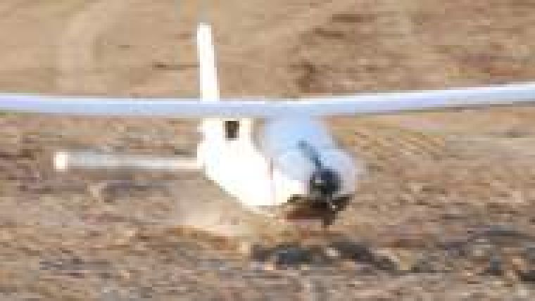
The MAVInci SIRIUS UAS is a ready-to-use system that allows everybody to obtain aerial images and orthofotos simply and compute three-dimensional Digital Elevation Models (DEMs). The complete system comprises the aircraft with autopilot, ground station for route planning and flight tracking, camera kit and software for data processing.

Value staying current with geomatics?
Stay on the map with our expertly curated newsletters.
We provide educational insights, industry updates, and inspiring stories to help you learn, grow, and reach your full potential in your field. Don't miss out - subscribe today and ensure you're always informed, educated, and inspired.
Choose your newsletter(s)


