UAV Technology and Trends at Intergeo
UAVs are playing an increasing role in the surveying industry thanks to their ever-improving sensors and their ever-lighter weight, allowing them to remain in the air for longer. They can complete surveying and inspection tasks that would otherwise be difficult to tackle and do so with cost-efficiency. UAV trends and technology will be amongst the focal points at the Intergeo conference in Berlin, Germany, on 7 October 2014.
Jan Denzel is a research assistant at the University of Stuttgart’s Institute of Aircraft Design (IFB). He is part of the UAV research group that developed a fully electric helicopter UAV some time ago as part of a project funded by the BMBF (Federal Ministry of Education and Research). The team investigated how a UAV of this kind can support disaster management by helping with reconnaissance following major incidents such as earthquakes or floods.
The research group developed the electrically powered helicopter UAV with a high payload for this particular deployment scenario, said Denzel. The UAV developed by the team is currently being used in a new research environment. In the Lidar complex project funded by the BMWi (Federal Ministry for Economic Affairs and Energy), scientists at the University of Stuttgart are investigating how UAVs can be used to identify the best possible locations for wind turbines. Once the UAV is in the air at the site, the measuring equipment starts recording time-synchronised and georeferenced data.
Applications
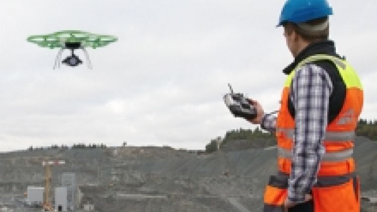
While Denzel is involved in basic research, Jörg Lamprecht, managing director of Aibotix, has long been manufacturing commercially successful UAVs. UAVs are coming of age, he stated, pointing out that these geomapping devices now carry high-resolution digital single-lens reflex cameras, multispectral cameras or laser scanners and supply highly accurate data that is used in an increasing number of applications. In the agricultural sector, for example, multispectral cameras ascertain the condition of crops so that farmers can act quickly if necessary. This airborne surveying equipment is also becoming established in the energy industry and disaster management.
UAVs are taking over wherever access is impossible for conventional surveying equipment, said Lamprecht. The surveying flights produce photos, videos, orthophotos or digital 3D models. According to Lamprecht, Aibotix is currently working on improving the workflow – from flight planning and data acquisition all the way through to preparation of 3D models and their integration in geoinformation systems.
Automating processes
Stephan Fick, a graduate engineer and Managing Director of div-gmbh, gesellschaft für datenverarbeitung, informationssysteme und vermessung, believes this improvement is essential. Much of the workflow, from the actual flight to preparing digital terrain models or orthophotos, is still not automated, he said, adding that there is still a big gap between the theory and reality of UAV surveying.
Fick nonetheless uses UAVs in numerous jobs, even though a great deal of manual work is still required to provide customers with the products they want. On the positive side, he indicated that the results of the surveying flights are often even better than promised by the manufacturers.
There is plenty more scope for further UAV developments. The “UAVs in practice” part of the conference programme on Thursday, 7 October 2014 at Intergeo 2014 in Berlin will look at the state of the art, application trends and legal principles.
Image courtesy: Aibotix.

Value staying current with geomatics?
Stay on the map with our expertly curated newsletters.
We provide educational insights, industry updates, and inspiring stories to help you learn, grow, and reach your full potential in your field. Don't miss out - subscribe today and ensure you're always informed, educated, and inspired.
Choose your newsletter(s)


