Unearth Joins Trimble's GIS Partner Programme
Unearth Technologies, a provider of map-based project tools that help built-world industries to manage physical assets, has joined Trimble's Mapping & GIS Partner Programme. Unearth's map-based project management software connects field and office teams by providing a unified platform for data collection and work management.
As part of the programme, Unearth has implemented the Trimble Precision software development kit (SDK) to enable field teams to perform high-precision GNSS data capture in real time, directly from their Android and iOS apps.
Map-based workflows to collect accurate field data
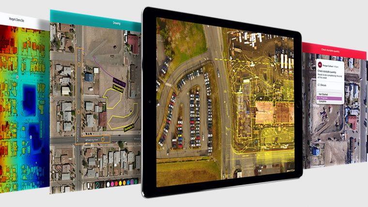
With Unearth's centralized, map-based platform, project and asset managers across the US have a simple way to digitize analogue processes – saving time and money while providing a single system of ground truth for internal and external stakeholders. By integrating the platform directly with Trimble's high-precision GNSS systems, including the Trimble R series receivers and the Trimble Catalyst GNSS positioning service, Unearth's map-based workflows make collecting accurate field data simple, enhancing precision in the placement and tracking of physical assets.
"With Trimble's high-accuracy positioning capabilities, Unearth users receive quality field data to enrich their decision-making," said Stephanie Michaud, strategic marketing manager, Trimble Surveying & Mapping Field Solutions. "The ability to easily share this data with stakeholders brings particular benefits to users in gas and electric utilities, telecom, municipalities and horizontal construction, such as bridges, roads and highways."
The need for digital transformation
By adding Trimble's real-time GNSS data capture to its suite of product features, Unearth further enhances the asset inspection and maintenance process. The software adapts to the workflows of each organization through a no-code customizable framework, seamlessly integrating video, photo, GPS, GIS and all other file types into a single, actionable system accessible from any device.
"2020 proved that no one can ignore the need for digital transformation, particularly industries that require field and office coordination for essential operations," said Brian Saab, CEO and co-founder of Unearth. "Unearth naturally bridges the gap between office and field teams by providing them with a uniquely easy-to-use and reliable map based interface. Our relationship with Trimble ensures customers and stakeholders can rely on the accuracy of their Unearth data to drive end-to-end construction, maintenance and inspection of their physical assets."

Value staying current with geomatics?
Stay on the map with our expertly curated newsletters.
We provide educational insights, industry updates, and inspiring stories to help you learn, grow, and reach your full potential in your field. Don't miss out - subscribe today and ensure you're always informed, educated, and inspired.
Choose your newsletter(s)


