UP42 and SIIS Agreement Makes Kompsat Satellite Imagery Available
UP42 and SI Imaging Services (SIIS) of Daejeon, South Korea, have signed an agreement to make imagery from the Kompsat satellites available on the UP42 marketplace and developer platform. The deal includes high-resolution optical imagery from Kompsat-3 and -3A, and Synthetic Aperture Radar (SAR) data from Kompsat-5.
Kompsat imagery is a valuable addition to the more than 50 geospatial datasets now available on the UP42 marketplace, including satellite imagery from five international organizations. UP42 users will find imagery from the Korean constellation complements other data products by offering diverse spatial and spectral capabilities, broad dynamic ranges, afternoon acquisition times, extensive archives and attractive price points.
“The addition of the Kompsat 3, 3A, and 5 broadens our current offering of high-resolution satellite and radar data. This high-quality constellation is invaluable for unlocking new use cases for our users globally through higher combined revisit and ranging acquisition modes,” said UP42 CEO Sean Wiid.
Wiid predicts one of the most important impacts on new use cases for UP42 users will come in the area of intraday monitoring — with the aid of Kompsat’s afternoon collection times. The addition of Kompsat data will also provide existing UP42 users with more options to augment infrastructure monitoring and vegetation management use cases.
“The UP42 marketplace enabled us to reach out to potential global customers. On the UP42 platform, customers will have easy access to high-quality VVHR Kompsat EO and SAR constellation imagery up to 40cm resolution and gain valuable information through analysis,” said Moon-Gyu Kim, CEO of SI Imaging Services.
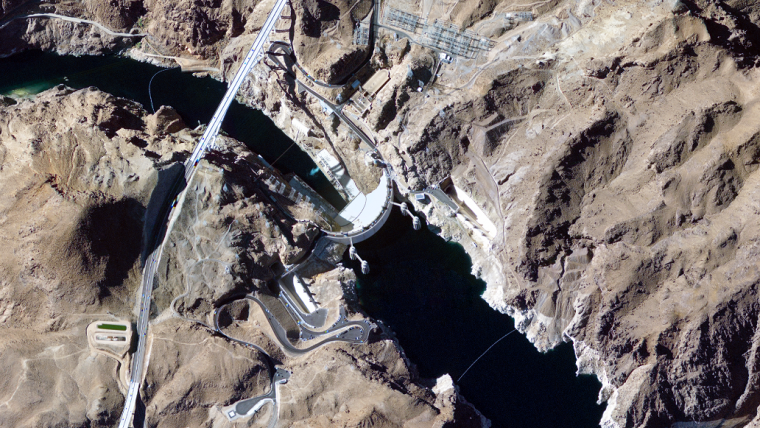
Satellite radar imagery
In its initial offering from Kompsat, UP42 will make tasking and archive ordering available from the following satellites:
- Kompsat-3 – This satellite was launched in 2012 with notable upgrades from earlier South Korean platforms. Product spatial resolution improved to 50-centimetre panchromatic and 2.0-metre multispectral (RGB, NIR). The 14-bit radiometric resolution produces a broader dynamic range of pixel values, delivering more detailed and reliable feature classifications. In addition, the 13:30 afternoon acquisition time makes intraday monitoring and change detection possible when combined with morning imagery from other satellites.
- Kompsat-3A – A twin to Kompsat-3 in most respects, yet launched in 2015, this satellite offers the same 14-bit dynamic range and afternoon acquisition time but with an important enhancement: 40cm spatial resolution.
- Kompsat-5 – Launched in 2013, this satellite captures X-band SAR data at 85-centimetre resolution. With radar’s ability to image through clouds and darkness, Kompsat-5 data is commonly used to map disasters, natural resources and coastal zones in all weather conditions. The SAR sensor is also capable of monitoring particulates in the atmosphere.
The UP42 platform offers extensive Earth observation data sets and more than 70 analytics tools – along with cloud computing power – to create custom geospatial solutions easily and inexpensively. Users purchase just the data needed to cover their area of interest and then leverage off-the-shelf processing capabilities to analyse the datasets without investment in their own computing infrastructure. And for users who only want to purchase imagery, one simple API on the UP42 marketplace enables them to search multiple data providers and integrate selected imagery directly into their geospatial workflows.
The SIIS agreement broadens the UP42 data ecosystem, comprising of both satellite and non-satellite data sources:
- High-resolution satellite data from Airbus and SIIS,
- Very high-resolution aerial image from Hexagon and Getmapping,
- Digital Elevation Models (DEMs) from Intermap, Airbus, and Hexagon,
- SAR satellite imagery from Airbus and SIIS,
- Medium- to low-resolution satellite imagery from the ESA’s Sentinel-2, 3, and 5,
- Weather and ocean data from Meteomatics, and AIS ship tracking from exactEarth.

Value staying current with geomatics?
Stay on the map with our expertly curated newsletters.
We provide educational insights, industry updates, and inspiring stories to help you learn, grow, and reach your full potential in your field. Don't miss out - subscribe today and ensure you're always informed, educated, and inspired.
Choose your newsletter(s)


