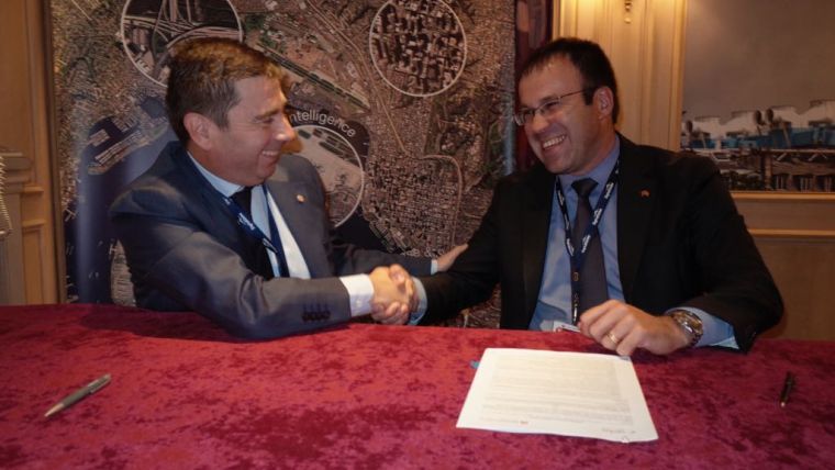
UrtheCast and e-GEOS Collaborate to Form a Geospatial Data Hub
UrtheCast, its subsidiary Deimos Imaging and e-GEOS (a company owned by Telespazio and the Italian Space Agency) have announced a strategic partnership to offer a combination of joint optical and radar sensors with ground stations. The collaboration will allow observation of the Earth day and night, regardless of weather conditions, and is intended to provide a constant asset-monitoring service resulting from the specific characteristics of the COSMO-SkyMed SAR constellation and the Deimos-1 and Deimos-2 optical multispectral sensors.
The combination of high-resolution radar data with medium and very-high resolution optical imagery is expected to provide customers with an exceptional level of decision making insights, and to create a valuable benefit for users in a diverse group of sectors including emergency services and the oil and gas industry, among others.
The data acquired by the different satellites will be jointly marketed and distributed to the end user, enabling the provision of seamless products and services.
Multispectral and radar
Both e-GEOS and Deimos Imaging are leading sources of information solutions for the emergency response sector. The current space assets of UrtheCast and e-GEOS include the Deimos-1 and Deimos-2 optical multispectral sensors and the COSMO-SkyMed constellation of the Italian Space Agency and the Italian Ministry of Defence, consisting of four radar satellites. These assets are significant contributors to the European Commission’s Copernicus Emergency Management Service, where e-GEOS leads the Rapid Mapping Team for the operations providing mapping products based on satellite imagery for disaster risk reduction and emergency response. In addition, both Deimos Imaging and e-GEOS have extensive satellite imagery and production capabilities operating 24/7.
OptiSAR constellation
Massimo Claudio Comparini, CEO of e-GEOS stated his team is very glad to be partnering with UrtheCast because this collaboration supports and empowers their data strategy to become a hub for all geospatial data, both optical and SAR to serve reliable monitoring capabilities and to feed multi-sensor application platforms. This agreement confirms the importance to establish strong and valuable partnerships with key players to provide the best services to customers, he added.
Highly derived products are significantly broadening the utility of Earth Observation data as near-real time efficient tools for decision makers. By partnering with e-GEOS, it is possible to significantly accelerate decision-making in a wide range of fields, said Fabrizio Pirondini, CEO at UrtheCast’s subsidiary Deimos imaging. This joint service is a precursor to their upcoming OptiSAR constellation, the world’s first fully-integrated constellation of sixteen multispectral optical and SAR satellites, which is expected to revolutionise the way we observe and map the Earth, he concluded.

Value staying current with geomatics?
Stay on the map with our expertly curated newsletters.
We provide educational insights, industry updates, and inspiring stories to help you learn, grow, and reach your full potential in your field. Don't miss out - subscribe today and ensure you're always informed, educated, and inspired.
Choose your newsletter(s)


